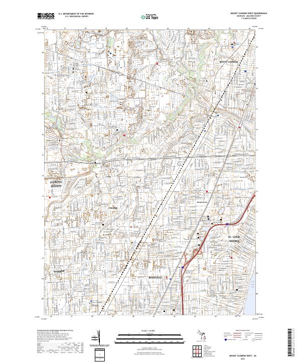
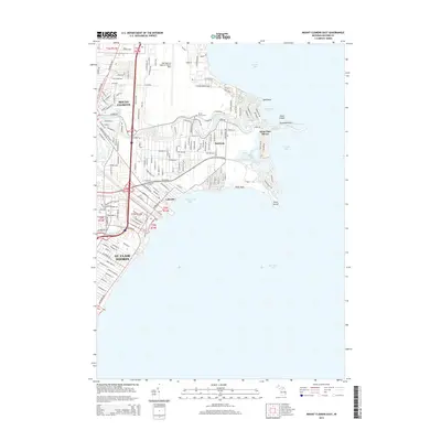
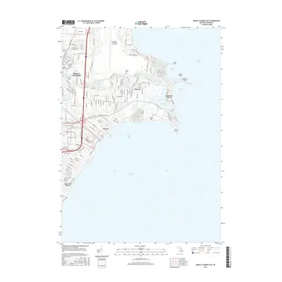
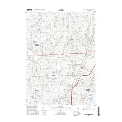
2023 Map of Mount Clemens West
USGS Topo · Published 2023About this map
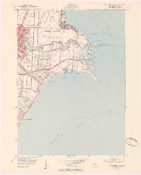
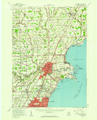
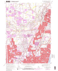
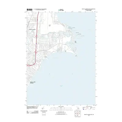
Mount Clemens and the expanding suburbs of Macomb County are captured in this detailed study of post-war infrastructure. The city's administrative core is anchored by the Macomb County Court House, while the surrounding landscape is defined by an extensive network of drainage canals and waterways such as the Middle Branch Clinton River and Utica Drain. A high concentration of commemorative sites including Cadillac Memorial Gardens East and the Hebrew Memorial Park illustrates the region's role as a major residential and memorial hub for the Detroit metropolitan area. The presence of Baker College of Clinton township and Macomb Community College South Campus indicates the educational expansion occurring alongside the residential growth of Sterling Heights and Fraser. Modern transportation corridors like the Metropolitan Pkwy intersect with older drainage ditches like Robinson Ditch and Stadler Drain, showing the engineering required to develop this low-lying terrain.
Find a feature on this map
61 named features on this map. Tap any name to fly to it.
Don’t see what you’re looking for? This feature index may not catch every label — zoom into the map to look around manually.
Map Details
Editions of this 2023 Mount Clemens West Map
This is the sole edition of this map. No revisions or reprints were ever made.
Historical Maps of Sterling Heights Through Time
28 maps found

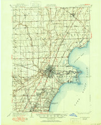
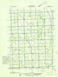
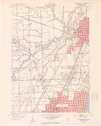
1912 Mt Clemens
Macomb County, MI
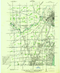
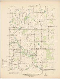
1929 Mt Clemens
Macomb County, MI
1936 Mt Clemens
Macomb County, MI
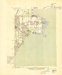
1936 Selfridge Field
Macomb County, MI
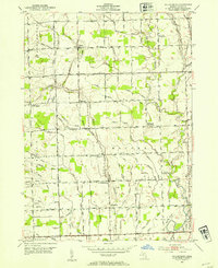
1936 Waldenburg
Macomb County, MI
1936 Washington
Macomb County, MI
1952 Mt Clemens East
Macomb County, MI
1952 Mt Clemens
Macomb County, MI
1952 Mt Clemens West
Macomb County, MI
1952 Waldenburg
Macomb County, MI
1968 Mt Clemens East
Macomb County, MI
1968 Mt Clemens West
Macomb County, MI
1968 Waldenburg
Macomb County, MI
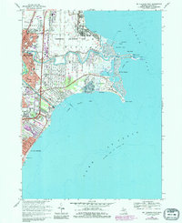
2011 Mount Clemens East
Macomb County, MI
2011 Mount Clemens West
Macomb County, MI
2011 Waldenburg
Macomb County, MI
2014 Mount Clemens East
Macomb County, MI
2014 Mount Clemens West
Macomb County, MI
2014 Waldenburg
Macomb County, MI
2017 Mount Clemens East
Macomb County, MI
2017 Mount Clemens West
Macomb County, MI
2017 Waldenburg
Macomb County, MI
2019 Mount Clemens East
Macomb County, MI

2019 Mount Clemens West
Macomb County, MI
2019 Waldenburg
Macomb County, MI
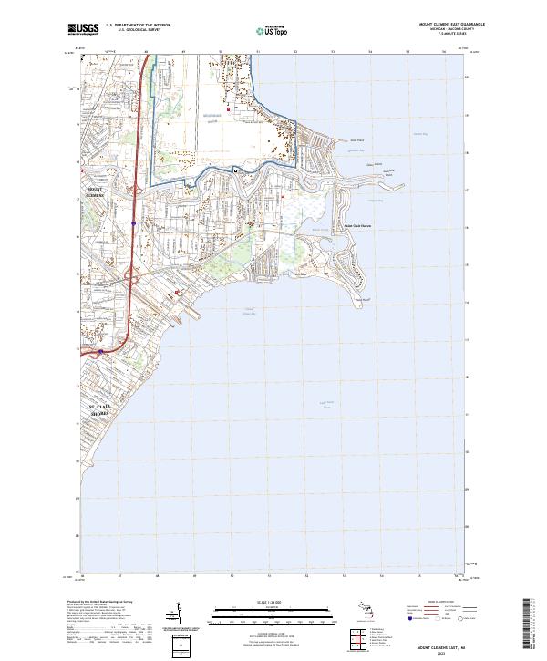
2023 Mount Clemens East
Macomb County, MI
2023 Mount Clemens West
Macomb County, MI
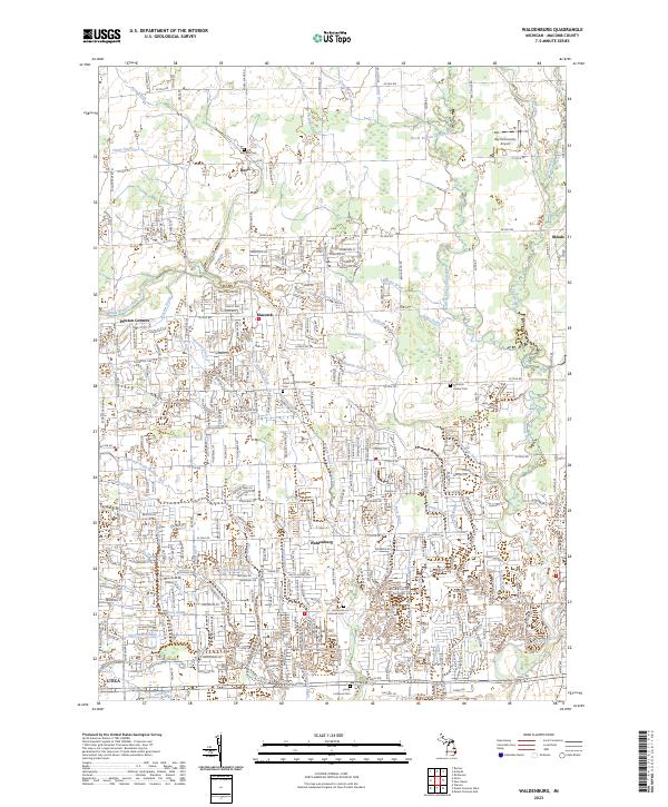
2023 Waldenburg
Macomb County, MI