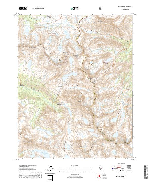
2021 Map of Mount Darwin
USGS Topo · Published 2021About this map
Mt Darwin and Mt Mendel anchor the center of this high-altitude landscape where the boundaries of Fresno Co and Inyo Co meet along the crest of the Sierra Nevada. This terrain is a complex meeting point of three major public lands: Sierra National Forest, Inyo National Forest, and Kings Canyon National Park. The survey details a massive network of alpine glacial features, from the Goethe Cirque and Glacier Divide to the expansive Evolution Basin and Humphreys Basin.
Find a feature on this map
94 named features on this map. Tap any name to fly to it.
Don’t see what you’re looking for? This feature index may not catch every label — zoom into the map to look around manually.
Map Details
Editions of this 2021 Mount Darwin Map
This is the sole edition of this map. No revisions or reprints were ever made.
Other maps of this area

1912 · Mt. Goddard
USGS Topo · 1:125,000

1947 · Mariposa
USGS Topo · 1:250,000

1948 · Mariposa
USGS Topo · 1:250,000

1948 · Mt. Goddard
USGS Topo · 1:62,500

1949 · Mt. Tom
USGS Topo · 1:62,500

1951 · Mt. Tom
USGS Topo · 1:62,500

1951 · Mt. Goddard
USGS Topo · 1:62,500

1952 · Mt. Goddard
USGS Topo · 1:62,500

1953 · Mt Abbot
USGS Topo · 1:62,500

1953 · Blackcap Mtn
USGS Topo · 1:62,500