
1953 Map of Blackcap Mtn
USGS Topo · Published 1955About this map
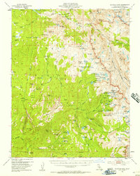
Diamond D Ranch and Chamberlains Camp represent the few permanent outposts in this high-altitude wilderness during the early 1950s. The landscape is defined by the high crests of the Sierra National Forest and the boundary of Kings Canyon National Park, where the John Muir Trail winds through Goddard Canyon. Water dominates the upper elevations, from the large expanse of Florence Lake to the intricate clusters of the Red Mtn Basin and Crown Basin. The drainage patterns of the South Fork San Joaquin River and the numerous meadows like Blaney Meadows provide a detailed look at the hydrology of the High Sierra before modern recreational infrastructure intensified. Sharp topographical features such as Blackcap Mtn and the aptly named Hell For Sure Pass highlight the difficulty of travel through this granite terrain.
Find a feature on this map
111 named features on this map. Tap any name to fly to it.
Don’t see what you’re looking for? This feature index may not catch every label — zoom into the map to look around manually.
Map Details
Editions of this 1953 Blackcap Mtn Map
4 editions found
Other maps of this area

1903 · Tehipite
USGS Topo · 1:125,000

1904 · Kaiser
USGS Topo · 1:125,000

1905 · Tehipite
USGS Topo · 1:125,000

1912 · Mt. Goddard
USGS Topo · 1:125,000

1922 · Trimmer
USGS Topo · 1:96,000

1924 · Dinuba
USGS Topo · 1:125,000

1947 · Mariposa
USGS Topo · 1:250,000

1948 · Fresno
USGS Topo · 1:250,000

1948 · Mariposa
USGS Topo · 1:250,000

1948 · Mt. Goddard
USGS Topo · 1:62,500