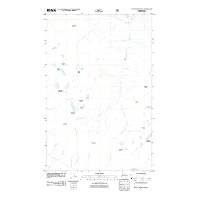
2011 Map of Mount Deception
USGS Topo · Published 2011About this map
Mount Deception and Mount Constance anchor this high-elevation landscape in the eastern Olympic Mountains. The drainage system is defined by the headwaters of the Dungeness River, which flows north, and the Dosewallips River to the south. This terrain is characterized by deep basins and sharp ridges, including the Gray Wolf Ridge and the Royal Basin. Sparse human infrastructure is limited to backcountry points like Royal Creek Cabin, Camp Handy, and the Boulder Shelter, reflecting the area's protected wilderness status. These sites, along with the trail-accessible Marmot Pass, emphasize the region's importance for early 21st-century conservation and recreation. Notable alpine features such as Lake Constance, Royal Lake, and the Sunnybrook Meadows are documented alongside jagged summits like Hal Foss Peak and The Needles.
Find a feature on this map
41 named features on this map. Tap any name to fly to it.
Don’t see what you’re looking for? This feature index may not catch every label — zoom into the map to look around manually.
Map Details
Editions of this 2011 Mount Deception Map
This is the sole edition of this map. No revisions or reprints were ever made.
Other maps of this area

1938 · Mt Constance
USGS Topo · 1:125,000

1944 · Mt. Angeles
USGS Topo · 1:62,500

1946 · Mt. Angeles
USGS Topo · 1:62,500

1946 · Tyler Peak
USGS Topo · 1:62,500

1947 · The Brothers
USGS Topo · 1:62,500

1947 · Mt. Steel
USGS Topo · 1:62,500

1948 · Tyler Peak
USGS Topo · 1:62,500

1950 · The Brothers
USGS Topo · 1:62,500

1950 · Mt. Steel
USGS Topo · 1:62,500

1958 · Seattle
USGS Topo · 1:250,000