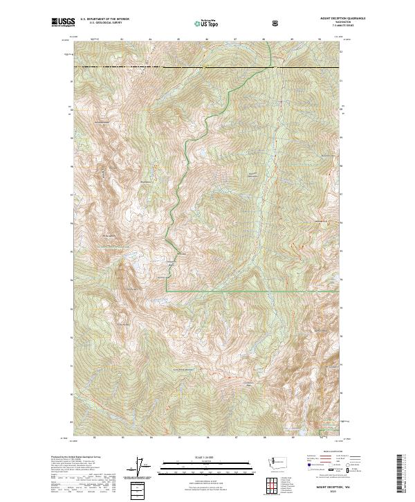
2023 Map of Mount Deception
USGS Topo · Published 2023About this map
Mount Deception and Mount Constance dominate this high-elevation landscape within the Olympic National Park and surrounding wilderness areas. The map reveals a complex network of alpine hydrology, where headwaters like the Dosewallips River and Dungeness River originate from glacially carved features such as Deception Basin and Royal Basin. The terrain is characterized by sharp ridgelines like Gray Wolf Ridge and notable summits including Mount Mystery and Mount Fricaba.
Find a feature on this map
52 named features on this map. Tap any name to fly to it.
Don’t see what you’re looking for? This feature index may not catch every label — zoom into the map to look around manually.
Map Details
Editions of this 2023 Mount Deception Map
This is the sole edition of this map. No revisions or reprints were ever made.
Other maps of this area

1938 · Mt Constance
USGS Topo · 1:125,000

1944 · Mt. Angeles
USGS Topo · 1:62,500

1946 · Mt. Angeles
USGS Topo · 1:62,500

1946 · Tyler Peak
USGS Topo · 1:62,500

1947 · The Brothers
USGS Topo · 1:62,500

1947 · Mt. Steel
USGS Topo · 1:62,500

1948 · Tyler Peak
USGS Topo · 1:62,500

1950 · The Brothers
USGS Topo · 1:62,500

1950 · Mt. Steel
USGS Topo · 1:62,500

1958 · Seattle
USGS Topo · 1:250,000