
1956 Map of Mount Desert
USGS Topo · Published 1960About this map
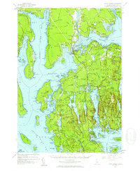
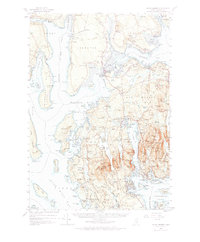
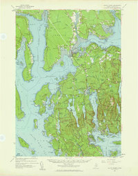
Acadia National Park dominates the eastern half of this mid-century coastal survey, showcasing the dramatic elevation of peaks like Sargent Mtn and Penobscot Mtn rising abruptly from the Atlantic. The intricate shoreline of Mount Desert Island is defined by the deep inlet of Somes Sound, which separates the high ridges of the interior from the established maritime villages. Inland, the map captures the transition of the landscape toward the mainland via Trenton and Lamoine, where infrastructure like the Bar Harbor Airport and a Drive-in Theater signal the era's growing tourist and local commerce. Historical local detail is abundant, from the cluster of Quarries near Hall Quarry to the family-oriented landmarks and small cemeteries like Brookside Cem and Leland Cem that anchor the older coastal settlements. This map reflects a period before modern development, recording the established ferry and road networks connecting Southwest Harbor, Northeast Harbor, and Manset.
Find a feature on this map
184 named features on this map. Tap any name to fly to it.
Don’t see what you’re looking for? This feature index may not catch every label — zoom into the map to look around manually.
Map Details
Editions of this 1956 Mount Desert Map
4 editions found
Other maps of this area

1900 · Orland
USGS Topo · 1:62,500

1904 · Deer Isle
USGS Topo · 1:62,500

1904 · Mount Desert
USGS Topo · 1:62,500

1904 · Swan Island
USGS Topo · 1:62,500

1904 · Bar Harbor
USGS Topo · 1:62,500

1904 · Bluehill
USGS Topo · 1:62,500

1905 · Penobscot Bay
USGS Topo · 1:125,000

1911 · Ellsworth
USGS Topo · 1:62,500

1930 · Tunk Lake
USGS Topo · 1:48,000

1932 · Tunk Lake
USGS Topo · 1:62,500