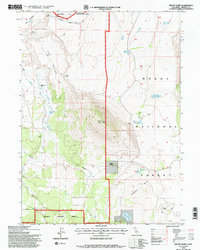
1993 Map of Mount Dome
USGS Topo · Published 1997About this map
Mount Dome dominates the landscape of this high-plateau region, serving as a prominent landmark at the intersection of the Modoc National Forest and Klamath National Forest. The map documents a sparsely settled frontier character, highlighted by family-named locations such as Willow Creek Ranch, Stinson Cabin, and the historical site of Laird Landing. The presence of these outposts, alongside Lairds Camp, suggests a history of cattle ranching and seasonal occupation in a rugged terrain defined by the Big Tableland and Little Tableland.
Find a feature on this map
25 named features on this map. Tap any name to fly to it.
Don’t see what you’re looking for? This feature index may not catch every label — zoom into the map to look around manually.
Map Details
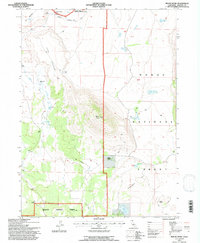
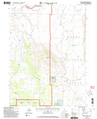
Editions of this 1993 Mount Dome Map
3 editions found
Other maps of this area

1886 · Modoc Lava Bed
USGS Topo · 1:250,000

1892 · Modoc Lava-Bed
USGS Topo · 1:250,000

1950 · Mt. Dome
USGS Topo · 1:62,500

1950 · Bray
USGS Topo · 1:62,500

1950 · Dorris
USGS Topo · 1:62,500

1952 · Medicine Lake
USGS Topo · 1:62,500

1954 · Alturas
USGS Topo · 1:250,000

1958 · Alturas
USGS Topo · 1:250,000

1962 · Alturas
USGS Topo · 1:250,000

1965 · Alturas
USGS Topo · 1:250,000