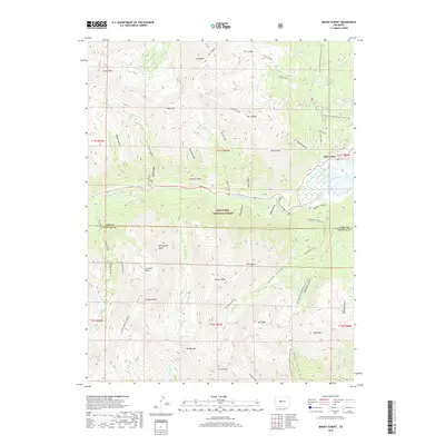
2019 Map of Mount Elbert
USGS Topo · Published 2019About this map
The settlement of Twin Lakes sits at the foot of the Collegiate Peaks, serving as a gateway to some of Colorado’s most significant high-altitude terrain within the San Isabel National Forest. This 2019 survey documents a landscape dominated by massive peaks, including Mt Elbert and La Plata Peak, where steep alpine valleys like Echo Canyon and La Plata Basin descend toward the glacial basins below. The hydrologic network is centered on Lake Creek, which feeds the lower reservoir system, while remote alpine water bodies such as Crystal Lake and Willis Lake remain tucked into the high cirques. Notable for recreation and transit, the Continental Divide National Scenic Trail winds along the eastern ridges, passing Lily Pond and the Cozart Reservoir, illustrating the modern management of these wilderness areas for both conservation and water resources.
Find a feature on this map
65 named features on this map. Tap any name to fly to it.
Don’t see what you’re looking for? This feature index may not catch every label — zoom into the map to look around manually.
Map Details
Editions of this 2019 Mount Elbert Map
This is the sole edition of this map. No revisions or reprints were ever made.
Other maps of this area

1889 · Leadville
USGS Topo · 1:125,000

1891 · Leadville
USGS Topo · 1:125,000

1909 · Mount Jackson
USGS Topo · 1:125,000

1911 · Mount Jackson
USGS Topo · 1:125,000

1934 · Taylor Park
USGS Topo · 1:62,500

1935 · Mount Elbert
USGS Topo · 1:62,500

1937 · Taylor Park
USGS Topo · 1:62,500

1938 · Mount Elbert
USGS Topo · 1:62,500

1939 · Mount Elbert
USGS Topo · 1:62,500

1942 · Leadville
USGS Topo · 1:125,000