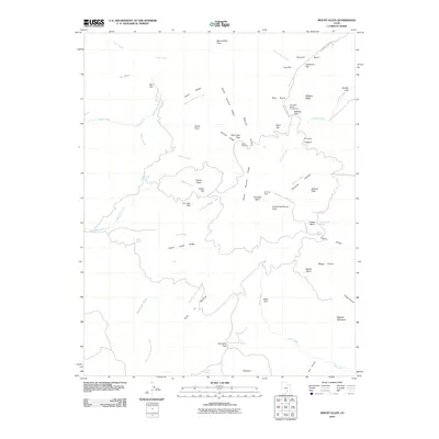
2010 Map of Mount Ellen
USGS Topo · Published 2010About this map
Mount Ellen Peak anchors this high-elevation landscape in the Henry Mountains, where the topography transitions from high alpine ridges to complex canyon systems. The area's resource history is evidenced by the presence of the Bromide Mine tucked into Bromide Basin, while the Sawmill Basin Rd provides access to the timbered northern reaches near Sawmill Basin.
Find a feature on this map
63 named features on this map. Tap any name to fly to it.
Don’t see what you’re looking for? This feature index may not catch every label — zoom into the map to look around manually.
Map Details
Editions of this 2010 Mount Ellen Map
This is the sole edition of this map. No revisions or reprints were ever made.
Other maps of this area

1885 · San Rafael
USGS Topo · 1:250,000

1886 · Henry Mountains
USGS Topo · 1:250,000

1892 · Henry Mountains
USGS Topo · 1:250,000

1952 · Mount Ellen 4 SW
USGS Topo · 1:24,000

1952 · Mt Pennell 2 NE
USGS Topo · 1:24,000

1952 · Mt Hillers
USGS Topo · 1:62,500

1952 · Mt. Ellen 4 NW
USGS Topo · 1:24,000

1952 · Mt Pennell 1 NW
USGS Topo · 1:24,000

1952 · Bull Mountain
USGS Topo · 1:62,500

1953 · Mt Pennell
USGS Topo · 1:62,500