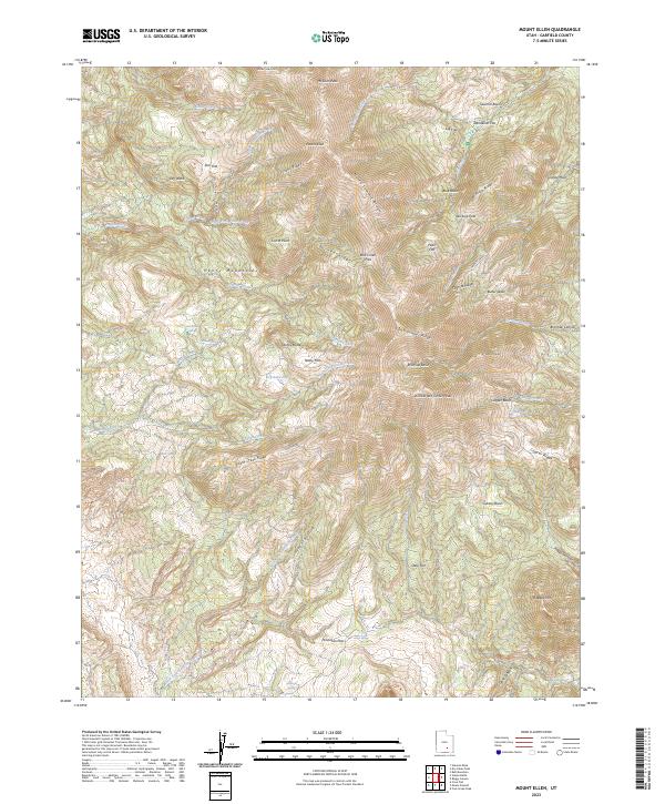
2023 Map of Mount Ellen
USGS Topo · Published 2023About this map
The Henry Mountains dominate this high-elevation landscape, anchored by the massive bulk of Mount Ellen and its highest point at Mt Ellen Peak. The terrain is defined by a series of sharp ridges and isolated basins, including North Summit Ridge, Pistol Ridge, and Burned Ridge. These high-altitude features create a complex drainage system where seasonal and perennial waters flow through areas like Dugout Creek and Crescent Creek.
Find a feature on this map
60 named features on this map. Tap any name to fly to it.
Don’t see what you’re looking for? This feature index may not catch every label — zoom into the map to look around manually.
Map Details
Editions of this 2023 Mount Ellen Map
This is the sole edition of this map. No revisions or reprints were ever made.
Other maps of this area

1885 · San Rafael
USGS Topo · 1:250,000

1886 · Henry Mountains
USGS Topo · 1:250,000

1892 · Henry Mountains
USGS Topo · 1:250,000

1952 · Mount Ellen 4 SW
USGS Topo · 1:24,000

1952 · Mt Pennell 2 NE
USGS Topo · 1:24,000

1952 · Mt Hillers
USGS Topo · 1:62,500

1952 · Mt. Ellen 4 NW
USGS Topo · 1:24,000

1952 · Mt Pennell 1 NW
USGS Topo · 1:24,000

1952 · Bull Mountain
USGS Topo · 1:62,500

1953 · Mt Pennell
USGS Topo · 1:62,500