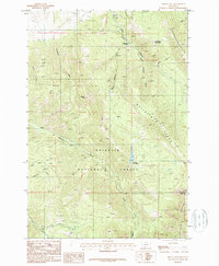
1987 Map of Mount Ellis
USGS Topo · Published 1987About this map
The Gallatin National Forest dominates this 1987 provisional survey, where the high ridges of the Gallatin Range meet the drainages of the northern Rockies. The landscape is defined by the prominent peak of Mount Ellis and the steep slopes of Chestnut Mountain, which provide a natural backdrop to the recreation and conservation efforts of the late twentieth century. Recreationists and forest managers are represented by the Bear Canyon Ski Lodge in the north and the Mystic Lake Ranger Station situated near the waters of Mystic Lake.
Find a feature on this map
23 named features on this map. Tap any name to fly to it.
Don’t see what you’re looking for? This feature index may not catch every label — zoom into the map to look around manually.
Map Details
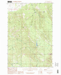
Editions of this 1987 Mount Ellis Map
2 editions found
Other maps of this area

1888 · Three Forks
USGS Topo · 1:250,000

1891 · Livingston
USGS Topo · 1:250,000

1893 · Livingston
USGS Topo · 1:250,000

1894 · Three Forks
USGS Topo · 1:250,000

1895 · Three Forks
USGS Topo · 1:250,000

1947 · Bozeman
USGS Topo · 1:250,000

1948 · Bozeman
USGS Topo · 1:250,000

1951 · Bozeman Pass
USGS Topo · 1:62,500

1953 · Bozeman
USGS Topo · 1:62,500

1955 · Bozeman
USGS Topo · 1:250,000