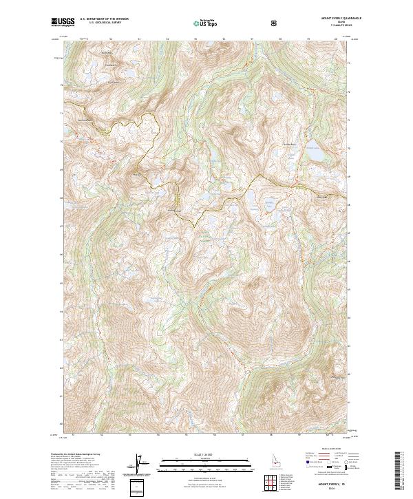
2024 Map of Mount Everly
USGS Topo · Published 2024About this map
Sawtooth Wilderness defines this alpine landscape, where the high ridges of the Sawtooth Range separate the headwaters of major Idaho river systems. This survey documents the complex hydrology of the central Sawtooths, centered on Mt Everly and the dramatic granitic spires of The Rakers. The map provides a detailed view of high-altitude basin drainage, showing how Tenlake Basin and the Spangle Lakes cluster fed by Tenlak Creek contrast with the steeper canyons of the Middle Fork Boise River and South Fork Payette River. A dense network of primitive paths, including the Alturas Lake-Mattingly Trail and Queens River Trail, illustrates how this area remained accessible primarily to backcountry travelers and forest rangers. The boundary between Boise and Elmore counties follows the crest of these high divides, marking a topographic partition that has dictated local administrative limits for generations.
Find a feature on this map
66 named features on this map. Tap any name to fly to it.
Don’t see what you’re looking for? This feature index may not catch every label — zoom into the map to look around manually.
Map Details
Editions of this 2024 Mount Everly Map
This is the sole edition of this map. No revisions or reprints were ever made.
Other maps of this area

1891 · Bear Valley
USGS Topo · 1:125,000

1893 · Bear Valley
USGS Topo · 1:125,000

1894 · Rocky Bar
USGS Topo · 1:125,000

1900 · Sawtooth
USGS Topo · 1:125,000

1919 · Custer
USGS Topo · 1:125,000

1922 · Custer
USGS Topo · 1:125,000

1955 · Hailey
USGS Topo · 1:250,000

1957 · Challis
USGS Topo · 1:250,000

1959 · Hailey
USGS Topo · 1:250,000

1960 · Challis
USGS Topo · 1:250,000