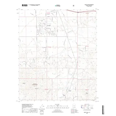
2018 Map of Mount Fagan
USGS Topo · Published 2018About this map
New Tucson serves as the primary residential hub on this high-desert landscape, where suburban street grids meet the expansive reaches of the Coronado National Forest. To the south and east, the terrain rises into the Santa Rita Mountains and the Empire Mountains, anchored by the prominent peak of Mt Fagan. This area is defined by its drainage systems and water infrastructure, essential for ranching and survival in the arid environment. Numerous man-made water catchments like Cemetery Tank, Missile Tank, and Duck Tank are scattered throughout the quadrangle, alongside natural features like Tunnel Spring and Ojo Blanco Spring. Deep drainages such as Davidson Canyon and Papago Canyon carve through the foothills, illustrating the complex topography that transitions from the basin floor to the rugged mountain heights.
Find a feature on this map
82 named features on this map. Tap any name to fly to it.
Don’t see what you’re looking for? This feature index may not catch every label — zoom into the map to look around manually.
Map Details
Editions of this 2018 Mount Fagan Map
This is the sole edition of this map. No revisions or reprints were ever made.
Other maps of this area

1904 · Patagonia
USGS Topo · 1:125,000

1904 · Tucson
USGS Topo · 1:125,000

1905 · Patagonia
USGS Topo · 1:125,000

1905 · Tucson
USGS Topo · 1:125,000

1926 · Helvetia
USGS Topo · 1:62,500

1948 · Tucson
USGS Topo · 1:62,500

1956 · Nogales
USGS Topo · 1:250,000

1956 · Tucson
USGS Topo · 1:250,000

1957 · Tucson
USGS Topo · 1:62,500

1957 · Rincon Valley
USGS Topo · 1:62,500