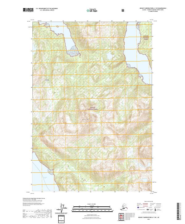
2021 Map of Mount Fairweather A-1 SW
USGS Topo · Published 2021About this map
The Althorp Peninsula dominates this coastal survey, reaching into the waters of the Tongass National Forest. The landscape is defined by its steep elevation changes, rising from the shoreline of Lisianski Inlet to prominent high points such as Crag Mtn and Basalt Knob. This 2021 edition provides a contemporary record of the hydrological network on the peninsula, where several named drainages including Meadow Cr, Marble Cr, and Basalt Cr carve through the forested terrain. The map's layout highlights the intersection of public land boundaries and the natural topographic features of the Hoonah-Angoon Census Area, illustrating how the drainage patterns follow the deep ravines and coastal ridges of this southeast Alaska wilderness.
Find a feature on this map
13 named features on this map. Tap any name to fly to it.
Don’t see what you’re looking for? This feature index may not catch every label — zoom into the map to look around manually.
Map Details
Editions of this 2021 Mount Fairweather A-1 SW Map
This is the sole edition of this map. No revisions or reprints were ever made.
Other maps of this area

1948 · Mount Fairweather A-2
USGS Topo · 1:63,360

1948 · Sitka D-8
USGS Topo · 1:63,360

1948 · Mount Fairweather A-1
USGS Topo · 1:63,360

1950 · Sitka D-8
USGS Topo · 1:63,360

1951 · Sitka D-7
USGS Topo · 1:63,360

1951 · Mt Fairweather
USGS Topo · 1:250,000

1951 · Sitka
USGS Topo · 1:250,000

1952 · Sitka
USGS Topo · 1:250,000

1954 · Mount Fairweather A-1
USGS Topo · 1:63,360

1961 · Mt Fairweather
USGS Topo · 1:250,000