
1951 Map of Sitka D-7
USGS Topo · Published 1953About this map
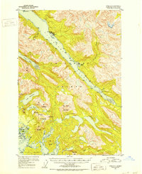
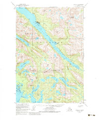
Lisianski Inlet serves as the central waterway of this mid-century survey on Chichagof Island, cutting deep through the mountains of the Tongass National Forest. The map documents the early years of Pelican, an incorporated town specifically excluded from the surrounding forest land, alongside smaller coastal outposts like Sunnyside and a Logging Camp further down the inlet. This is a landscape shaped by maritime access and resource extraction, evidenced by the presence of the Apex Mine and El Nido Mine tucked into the slopes near the head of Cann Creek.
Find a feature on this map
43 named features on this map. Tap any name to fly to it.
Don’t see what you’re looking for? This feature index may not catch every label — zoom into the map to look around manually.
Map Details
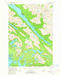
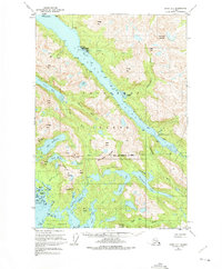
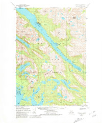
Editions of this 1951 Sitka D-7 Map
6 editions found
Other maps of this area

1948 · Sitka C-7
USGS Topo · 1:63,360

1948 · Mount Fairweather A-2
USGS Topo · 1:63,360

1948 · Sitka C-6
USGS Topo · 1:63,360

1948 · Sitka D-6
USGS Topo · 1:63,360

1948 · Sitka D-8
USGS Topo · 1:63,360

1948 · Mount Fairweather A-1
USGS Topo · 1:63,360

1950 · Sitka D-8
USGS Topo · 1:63,360

1951 · Juneau
USGS Topo · 1:250,000

1951 · Juneau A-6
USGS Topo · 1:63,360

1951 · Mt Fairweather
USGS Topo · 1:250,000