
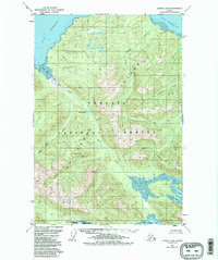
1951 Map of Juneau A-6
USGS Topo · Published 1952About this map
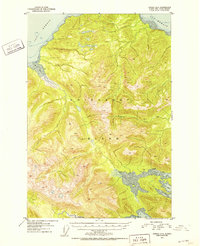
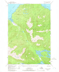
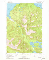
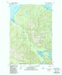
Chichagof Island dominates this 1951 topographic study, depicting a densely forested and mountainous landscape within the Tongass National Forest. The map captures the complex shoreline of Southeast Alaska, where the waters of Icy Strait meet protected inlets and bays. Small human imprints are noted only by generic markers such as Camp on the northern coast and a pair of Cabins near the head of Neka Bay. These labels suggest a seasonal or transient presence, likely tied to fishing or trapping, rather than permanent town sites. Deep tidal indentations like North Bight, South Bight, and the northern reaches of Tenakee Inlet define the interior accessibility of the island. The drainage of Humpback Creek and the tidal flats of Mud Bay illustrate the intricate hydrology of the Alexander Archipelago before modern development.
Find a feature on this map
12 named features on this map. Tap any name to fly to it.
Don’t see what you’re looking for? This feature index may not catch every label — zoom into the map to look around manually.
Map Details
Editions of this 1951 Juneau A-6 Map
6 editions found
Other maps of this area

1948 · Juneau B-6
USGS Topo · 1:63,360

1948 · Juneau B-5
USGS Topo · 1:63,360

1948 · Sitka D-5
USGS Topo · 1:63,360

1948 · Mount Fairweather B-1
USGS Topo · 1:63,360

1948 · Sitka D-6
USGS Topo · 1:63,360

1948 · Mount Fairweather A-1
USGS Topo · 1:63,360

1950 · Juneau B-5
USGS Topo · 1:63,360

1951 · Juneau
USGS Topo · 1:250,000

1951 · Juneau A-5
USGS Topo · 1:63,360

1951 · Sitka D-7
USGS Topo · 1:63,360