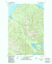
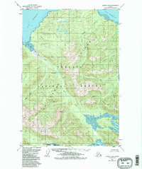
1951 Map of Juneau A-6
USGS Topo · Published 1988About this map
Chichagof Island dominates this 1951 topographic study, showing a largely wild landscape of the Tongass National Forest before modern developments. The map reveals an intricate network of coastal waterways, including the broad Icy Strait to the north and the deep indentation of Tenakee Inlet at the southern margin. Notable water systems like the Mud Bay River and Neka River drain the interior, while Otter Lake sits nestled between high ridgelines.
Find a feature on this map
17 named features on this map. Tap any name to fly to it.
Don’t see what you’re looking for? This feature index may not catch every label — zoom into the map to look around manually.
Map Details
Editions of this 1951 Juneau A-6 Map
6 editions found
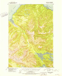
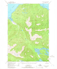
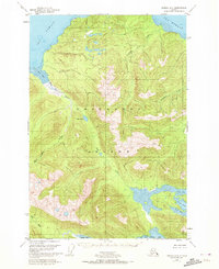
Other maps of this area

1948 · Juneau B-6
USGS Topo · 1:63,360

1948 · Juneau B-5
USGS Topo · 1:63,360

1948 · Sitka D-5
USGS Topo · 1:63,360

1948 · Mount Fairweather B-1
USGS Topo · 1:63,360

1948 · Sitka D-6
USGS Topo · 1:63,360

1948 · Mount Fairweather A-1
USGS Topo · 1:63,360

1950 · Juneau B-5
USGS Topo · 1:63,360

1951 · Juneau
USGS Topo · 1:250,000

1951 · Juneau A-6
USGS Topo · 1:63,360

1951 · Juneau A-5
USGS Topo · 1:63,360