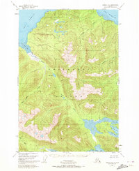
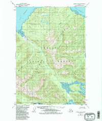
1951 Map of Juneau A-6
USGS Topo · Published 1972About this map
Chichagof Island dominates this 1951 aerial photogrammetric study, showing a landscape defined by glacial drainage and intricate coastal waterways within the Tongass National Forest. The geography is characterized by the complex interaction of tidal bights and river systems, where the Neka River flows into the protected waters of Neka Bay and North Bight. To the north, the terrain slopes toward Icy Strait and the tidal flats of Mud Bay. Evidence of human presence is minimal in this era, limited to a single isolated Cabin near the head of Neka Bay, illustrating the remote nature of the region before significant modern development. The map meticulously tracks several family-named watercourses, such as Gallagher Creek and Chicken Creek, which serve as primary markers for navigating the interior forest and high ridges separating Tenakee Inlet from the northern straits.
Find a feature on this map
17 named features on this map. Tap any name to fly to it.
Don’t see what you’re looking for? This feature index may not catch every label — zoom into the map to look around manually.
Map Details
Editions of this 1951 Juneau A-6 Map
6 editions found
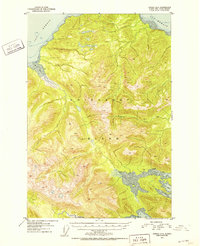
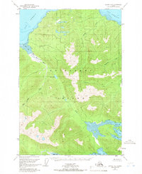
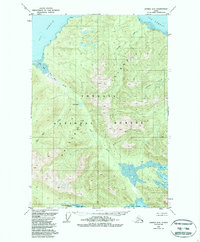
Other maps of this area

1948 · Juneau B-6
USGS Topo · 1:63,360

1948 · Juneau B-5
USGS Topo · 1:63,360

1948 · Sitka D-5
USGS Topo · 1:63,360

1948 · Mount Fairweather B-1
USGS Topo · 1:63,360

1948 · Sitka D-6
USGS Topo · 1:63,360

1948 · Mount Fairweather A-1
USGS Topo · 1:63,360

1950 · Juneau B-5
USGS Topo · 1:63,360

1951 · Juneau
USGS Topo · 1:250,000

1951 · Juneau A-6
USGS Topo · 1:63,360

1951 · Juneau A-5
USGS Topo · 1:63,360