
1951 Map of Juneau A-5
USGS Topo · Published 1952About this map
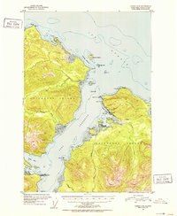
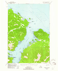
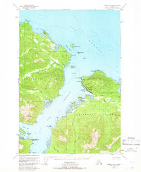
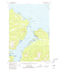
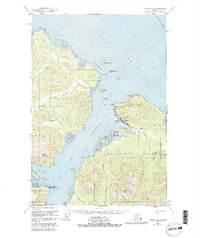
Hoonah stands as the primary settlement on this mid-century topographic record of northeastern Chichagof Island. Situated along Hoonah Harbor, the community’s economic foundations are evident through industrial features like the Cannery and Oil Tanks, alongside local landmarks including multiple Cem sites. The coastline is deeply articulated by glacial waters, with Port Frederick and Neka Bay cutting into the mountainous interior. Away from the harbor, human activity is marked by various Cabins and the Spasski Trail winding toward Spasski Bay. The surrounding Tongass National Forest is defined by a dense network of drainages such as Game Creek and Humpback Creek, which flow from steep ridges into the Icy Strait and Gedney Channel. This survey documents a Tlingit community and maritime hub during a period of established commercial fishing and interior exploration via coastal trails.
Find a feature on this map
45 named features on this map. Tap any name to fly to it.
Don’t see what you’re looking for? This feature index may not catch every label — zoom into the map to look around manually.
Map Details
Editions of this 1951 Juneau A-5 Map
6 editions found
Other maps of this area

1948 · Juneau B-4
USGS Topo · 1:63,360

1948 · Juneau B-6
USGS Topo · 1:63,360

1948 · Juneau A-4
USGS Topo · 1:63,360

1948 · Juneau B-5
USGS Topo · 1:63,360

1948 · Sitka D-5
USGS Topo · 1:63,360

1948 · Sitka D-4
USGS Topo · 1:63,360

1948 · Sitka D-6
USGS Topo · 1:63,360

1949 · Juneau B-4
USGS Topo · 1:63,360

1950 · Juneau B-5
USGS Topo · 1:63,360

1951 · Juneau
USGS Topo · 1:250,000
Featured Places
- Hoonah, AK
- Whitestone Logging Camp (Abandoned), AK
- Whitestone Logging Camp, AK
- Game Creek, AK
- Unorganized Borough, AK