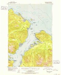
1951 Map of Juneau A-5
USGS Topo · Published 1952About this map
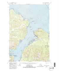
Hoonah sits at the heart of this coastal study, positioned where the waters of Hoonah Harbor meet the greater expanse of Port Frederick. The settlement is characterized by its mid-century maritime infrastructure, including a prominent Cannery and Oil Tanks near the shoreline, reflecting the industrial life of Chichagof Island in the early 1950s. A local Cem is marked just outside the town center, providing a fixed point for genealogical research in the Alaska-First Judicial Division.
Find a feature on this map
44 named features on this map. Tap any name to fly to it.
Don’t see what you’re looking for? This feature index may not catch every label — zoom into the map to look around manually.
Map Details
Editions of this 1951 Juneau A-5 Map
6 editions found

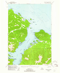
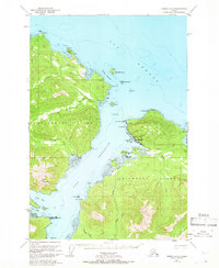
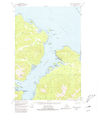
Other maps of this area

1948 · Juneau B-4
USGS Topo · 1:63,360

1948 · Juneau B-6
USGS Topo · 1:63,360

1948 · Juneau A-4
USGS Topo · 1:63,360

1948 · Juneau B-5
USGS Topo · 1:63,360

1948 · Sitka D-5
USGS Topo · 1:63,360

1948 · Sitka D-4
USGS Topo · 1:63,360

1948 · Sitka D-6
USGS Topo · 1:63,360

1949 · Juneau B-4
USGS Topo · 1:63,360

1950 · Juneau B-5
USGS Topo · 1:63,360

1951 · Juneau
USGS Topo · 1:250,000
Featured Places
- Hoonah, AK
- Whitestone Logging Camp (Abandoned), AK
- Whitestone Logging Camp, AK
- Game Creek, AK
- Unorganized Borough, AK