1951 Map of Juneau A-5
USGS Topo · Published 1961About this map
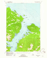
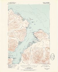
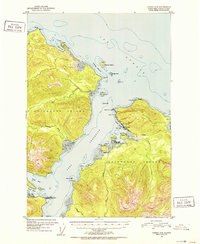
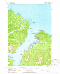
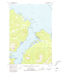
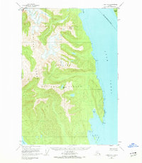
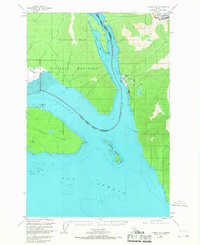
The settlement of Hoonah serves as the focal point of this mid-century survey, situated along the northeastern shores of Chichagof Island. This Tlingit community is shown with its local infrastructure including a Cannery at Hoonah Point and a Cem nearby, reflecting the industrial and social life of the era. The mapping details the maritime dependencies of the region, from the sheltered Hoonah Harbor to the navigational challenges of Icy Strait and Gedney Channel.
Find a feature on this map
47 named features on this map. Tap any name to fly to it.
Don’t see what you’re looking for? This feature index may not catch every label — zoom into the map to look around manually.
Map Details
Editions of this 1951 Juneau A-5 Map
6 editions found

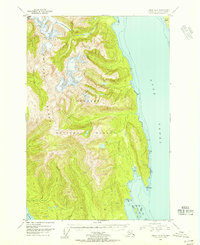
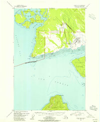
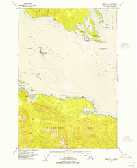
Other maps of this area
1948 · Juneau B-4
USGS Topo · 1:63,360
1948 · Juneau B-6
USGS Topo · 1:63,360
1948 · Juneau A-4
USGS Topo · 1:63,360

1948 · Juneau B-5
USGS Topo · 1:63,360

1948 · Sitka D-5
USGS Topo · 1:63,360

1948 · Sitka D-4
USGS Topo · 1:63,360

1948 · Sitka D-6
USGS Topo · 1:63,360
1949 · Juneau B-4
USGS Topo · 1:63,360
1950 · Juneau B-5
USGS Topo · 1:63,360

1951 · Juneau
USGS Topo · 1:250,000
Featured Places
- Hoonah, AK
- Whitestone Logging Camp (Abandoned), AK
- Whitestone Logging Camp, AK
- Game Creek, AK
- Unorganized Borough, AK