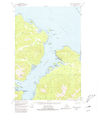
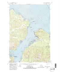
1951 Map of Juneau A-5
USGS Topo · Published 1981About this map
Chichagof Island serves as the primary setting for this mid-century coastal survey, centered on the settlement of Hoonah. The maritime character of the community is evidenced by its infrastructure, including a prominent Cannery, Seaplane Base, and the sheltered waters of Hoonah Harbor. The map reveals a landscape defined by deep inlets and bights, such as Port Frederick and Neka Bay, which provide natural harbors within the dense wilderness.
Find a feature on this map
53 named features on this map. Tap any name to fly to it.
Don’t see what you’re looking for? This feature index may not catch every label — zoom into the map to look around manually.
Map Details
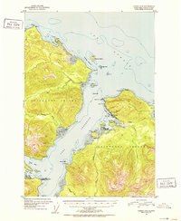
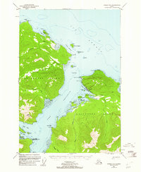
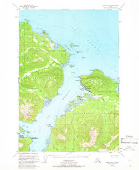
Editions of this 1951 Juneau A-5 Map
6 editions found

Other maps of this area

1948 · Juneau B-4
USGS Topo · 1:63,360

1948 · Juneau B-6
USGS Topo · 1:63,360

1948 · Juneau A-4
USGS Topo · 1:63,360

1948 · Juneau B-5
USGS Topo · 1:63,360

1948 · Sitka D-5
USGS Topo · 1:63,360

1948 · Sitka D-4
USGS Topo · 1:63,360

1948 · Sitka D-6
USGS Topo · 1:63,360

1949 · Juneau B-4
USGS Topo · 1:63,360

1950 · Juneau B-5
USGS Topo · 1:63,360

1951 · Juneau
USGS Topo · 1:250,000
Featured Places
- Hoonah, AK
- Whitestone Logging Camp (Abandoned), AK
- Whitestone Logging Camp, AK
- Game Creek, AK
- Unorganized Borough, AK