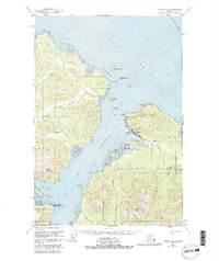
1951 Map of Juneau A-5
USGS Topo · Published 1981About this map
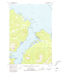
Hoonah sits at the maritime crossroads of Icy Strait and Port Frederick, serving as a vital hub for the fishing industry on the northeastern shore of Chichagof Island. The 1951 aerial photography and field annotations document a coastal community defined by its relationship with the water, anchored by a Cannery and a Seaplane Base at Hoonah Harbor. Inland from the settlement, the Spasski Trail and several small Cabins suggest a network of subsistence and transport routes leading toward Spasski Bay.
Find a feature on this map
49 named features on this map. Tap any name to fly to it.
Don’t see what you’re looking for? This feature index may not catch every label — zoom into the map to look around manually.
Map Details
Editions of this 1951 Juneau A-5 Map
6 editions found

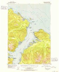
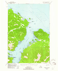
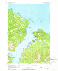
Other maps of this area

1948 · Juneau B-4
USGS Topo · 1:63,360

1948 · Juneau B-6
USGS Topo · 1:63,360

1948 · Juneau A-4
USGS Topo · 1:63,360

1948 · Juneau B-5
USGS Topo · 1:63,360

1948 · Sitka D-5
USGS Topo · 1:63,360

1948 · Sitka D-4
USGS Topo · 1:63,360

1948 · Sitka D-6
USGS Topo · 1:63,360

1949 · Juneau B-4
USGS Topo · 1:63,360

1950 · Juneau B-5
USGS Topo · 1:63,360

1951 · Juneau
USGS Topo · 1:250,000
Featured Places
- Hoonah, AK
- Whitestone Logging Camp (Abandoned), AK
- Whitestone Logging Camp, AK
- Game Creek, AK
- Unorganized Borough, AK