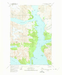
1948 Map of Mount Fairweather D-1
USGS Topo · Published 1975About this map
Glacier Bay National Monument dominates this mid-century topographic record, capturing a landscape defined by retreating ice and deepening waterways. The dramatic convergence of Muir Inlet and Wachusett Inlet reveals the profound impact of glacial movement on the Alaskan coast. Prominent ice masses like the Burroughs Glacier and Casement Glacier are shown pressing against coastal ridges such as Idaho Ridge and the Curtis Hills.
Find a feature on this map
46 named features on this map. Tap any name to fly to it.
Don’t see what you’re looking for? This feature index may not catch every label — zoom into the map to look around manually.
Map Details
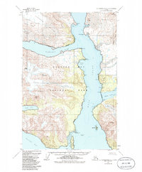
Editions of this 1948 Mount Fairweather D-1 Map
3 editions found
Other maps of this area

1948 · Juneau C-6
USGS Topo · 1:63,360

1948 · Mount Fairweather D-1
USGS Topo · 1:63,360

1948 · Mount Fairweather D-2
USGS Topo · 1:63,360

1948 · Mount Fairweather C-1
USGS Topo · 1:63,360

1948 · Mount Fairweather C-2
USGS Topo · 1:63,360

1949 · Mount Fairweather C-1
USGS Topo · 1:63,360

1949 · Juneau D-6
USGS Topo · 1:63,360

1950 · Mount Fairweather D-2
USGS Topo · 1:63,360

1950 · Mount Fairweather C-2
USGS Topo · 1:63,360

1950 · Juneau C-6
USGS Topo · 1:63,360