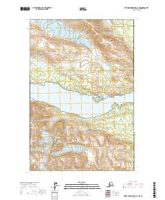
2017 Map of Mount Fairweather D-1 NW
USGS Topo · Published 2017About this map
Wachusett Inlet cuts through the heart of this coastal Alaskan landscape, situated within the protected boundaries of Glacier Bay National Park. The environment is defined by massive ice flows and high alpine ridges, including the Burroughs Glacier to the north and a trio of southern glaciers: the Patton Glacier, Andrews Glacier, and Morse Glacier. These ice bodies descend from prominent peaks such as Mt Cadell and Mt Kloh Kutz.
Find a feature on this map
16 named features on this map. Tap any name to fly to it.
Don’t see what you’re looking for? This feature index may not catch every label — zoom into the map to look around manually.
Map Details
Editions of this 2017 Mount Fairweather D-1 NW Map
This is the sole edition of this map. No revisions or reprints were ever made.
Other maps of this area

1948 · Mount Fairweather D-1
USGS Topo · 1:63,360

1948 · Mount Fairweather D-2
USGS Topo · 1:63,360

1950 · Mount Fairweather D-2
USGS Topo · 1:63,360

1951 · Mt Fairweather
USGS Topo · 1:250,000

1952 · Skagway
USGS Topo · 1:250,000

1954 · Mount Fairweather D-1
USGS Topo · 1:63,360
1961 · Skagway A-4
USGS Topo · 1:63,360

1961 · Mt Fairweather
USGS Topo · 1:250,000

1961 · Skagway
USGS Topo · 1:250,000
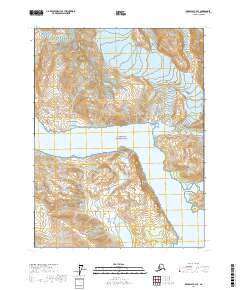
2017 · Skagway A-4 SE
USGS Topo · 1:25,000