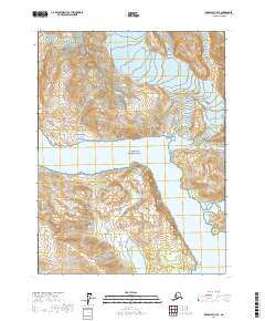
2017 Map of Skagway A-4 SE
USGS Topo · Published 2017About this map
Glacier Bay National Park dominates this high-latitude terrain, where the dynamic relationship between ice and sea is meticulously charted. The map centers on the waters of Muir Inlet, a deep fjord flanked by the massive topographic rises of White Thunder Ridge and the prominent Wolf Point to the south. This 2017 survey provides a detailed look at the modern glacial landscape, marking significant elevations such as Mt Brock and McConnell Ridge that define the eastern and western horizons. For those studying environmental history or local geography, the map identifies specific natural passages like Glacier Pass and the high spine of Minnesota Ridge. The contour work reflects a landscape still being shaped by the elements, showing the sheer relief of the coastal mountains as they meet the tidewaters of the Alaskan coast.
Find a feature on this map
12 named features on this map. Tap any name to fly to it.
Don’t see what you’re looking for? This feature index may not catch every label — zoom into the map to look around manually.
Map Details
Editions of this 2017 Skagway A-4 SE Map
This is the sole edition of this map. No revisions or reprints were ever made.
Other maps of this area

1948 · Mount Fairweather D-1
USGS Topo · 1:63,360

1951 · Mt Fairweather
USGS Topo · 1:250,000

1952 · Skagway
USGS Topo · 1:250,000

1954 · Mount Fairweather D-1
USGS Topo · 1:63,360

1954 · Skagway A-3
USGS Topo · 1:63,360
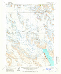
1961 · Skagway A-4
USGS Topo · 1:63,360

1961 · Mt Fairweather
USGS Topo · 1:250,000

1961 · Skagway
USGS Topo · 1:250,000
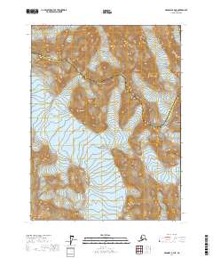
2017 · Skagway A-4 NE
USGS Topo · 1:25,000
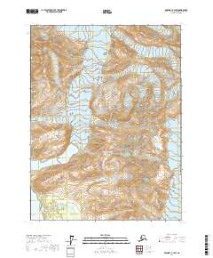
2017 · Skagway A-3 SW
USGS Topo · 1:25,000