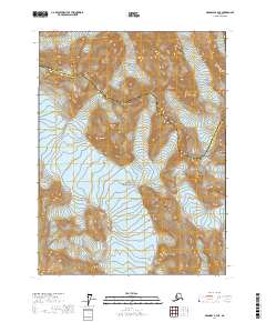
2017 Map of Skagway A-4 NE
USGS Topo · Published 2017About this map
The Takhinsha Mountains dominate the northern terrain of this wilderness quadrangle, where the steep ridgelines of the Alaska Panhandle define the landscape. This 2017 survey shows the protected high-altitude reaches within Glacier Bay National Park, a region shaped by dramatic glacial activity and sheer elevation changes. The map traces the administrative boundary of the Haines Borough Hoonah-Angoon Census Area as it winds through the interior peaks, marking a remote division in this roadless territory. This edition is particularly useful for understanding the modern topographic contours and land management boundaries of the Southeast Alaska backcountry during the early twenty-first century.
Find a feature on this map
9 named features on this map. Tap any name to fly to it.
Don’t see what you’re looking for? This feature index may not catch every label — zoom into the map to look around manually.
Map Details
Editions of this 2017 Skagway A-4 NE Map
This is the sole edition of this map. No revisions or reprints were ever made.
Other maps of this area

1952 · Skagway
USGS Topo · 1:250,000

1954 · Skagway A-3
USGS Topo · 1:63,360

1954 · Skagway B-3
USGS Topo · 1:63,360

1954 · Skagway B-4
USGS Topo · 1:63,360
1961 · Skagway A-4
USGS Topo · 1:63,360

1961 · Skagway
USGS Topo · 1:250,000
1991 · Skagway B-3 SW
USGS Topo · 1:25,000
2017 · Skagway A-3 SW
USGS Topo · 1:25,000
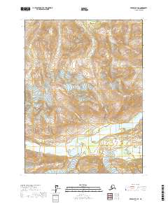
2017 · Skagway B-4 SE
USGS Topo · 1:25,000
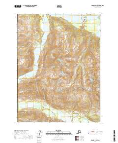
2017 · Skagway B-3 SW
USGS Topo · 1:25,000