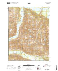
2017 Map of Skagway B-3 SW
USGS Topo · Published 2017About this map
Tsirku River and Takhin River dominate this wilderness landscape in the northern reaches of the Alaska Panhandle. The drainages reveal a complex network of glacial meltwater and seasonal flow patterns, with the wide, braided channel of the Tsirku River cutting across the northern portion of the quadrangle while the Takhin River meanders through the southern valleys. High-altitude landmarks like Mt Jonathan Ward and Chunukukleik Mtn anchor the terrain, providing essential reference points for navigation and survey in an area defined by extreme elevation changes.
Find a feature on this map
12 named features on this map. Tap any name to fly to it.
Don’t see what you’re looking for? This feature index may not catch every label — zoom into the map to look around manually.
Map Details
Editions of this 2017 Skagway B-3 SW Map
This is the sole edition of this map. No revisions or reprints were ever made.
Other maps of this area

1952 · Skagway
USGS Topo · 1:250,000

1954 · Skagway A-3
USGS Topo · 1:63,360

1954 · Skagway B-3
USGS Topo · 1:63,360

1954 · Skagway B-4
USGS Topo · 1:63,360
1961 · Skagway A-4
USGS Topo · 1:63,360

1961 · Skagway
USGS Topo · 1:250,000
1991 · Skagway B-3 SW
USGS Topo · 1:25,000
1991 · Skagway B-3 NW
USGS Topo · 1:25,000
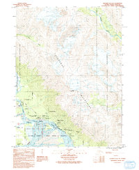
1991 · Skagway B-3 NE
USGS Topo · 1:25,000
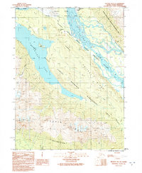
1991 · Skagway B-3 SE
USGS Topo · 1:25,000