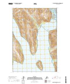
2017 Map of Mount Fairweather D-2 NW
USGS Topo · Published 2017About this map
Glacier Bay National Park serves as the focal point for this survey, illustrating a landscape defined by retreating ice and expanding waterways. The dramatic meeting of terrestrial and maritime environments is visible where Carroll Glacier terminates near the head of Queen Inlet, a process that continues to reshape the coastline of Southeast Alaska. This map documents the complex topography of the Hoonah-Angoon Census Area, characterized by high-elevation landmarks like Sentinel Peak and the deep glacial fjords of Rendu Inlet and Glacier Bay. Small landmasses such as Composite Island and Triangle Island emerge from the cold waters, providing critical data points for studying coastal changes and navigation in these protected waters. The absence of roads or permanent settlements highlights the wilderness character of the region during this 2017 study.
Find a feature on this map
12 named features on this map. Tap any name to fly to it.
Don’t see what you’re looking for? This feature index may not catch every label — zoom into the map to look around manually.
Map Details
Editions of this 2017 Mount Fairweather D-2 NW Map
This is the sole edition of this map. No revisions or reprints were ever made.
Other maps of this area

1948 · Mount Fairweather D-2
USGS Topo · 1:63,360

1950 · Mount Fairweather D-2
USGS Topo · 1:63,360

1951 · Mt Fairweather
USGS Topo · 1:250,000

1952 · Skagway
USGS Topo · 1:250,000
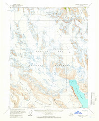
1961 · Skagway A-4
USGS Topo · 1:63,360
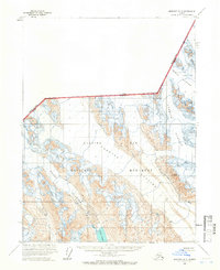
1961 · Skagway A-5
USGS Topo · 1:63,360

1961 · Mount Fairweather D-3
USGS Topo · 1:63,360

1961 · Mt Fairweather
USGS Topo · 1:250,000

1961 · Skagway
USGS Topo · 1:250,000
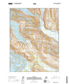
2017 · Skagway A-4 SW
USGS Topo · 1:25,000