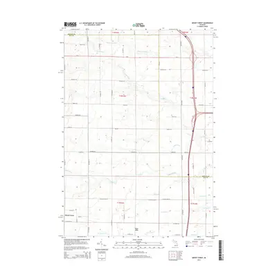
2014 Map of Mount Forest
USGS Topo · Published 2014About this map
Mount Forest serves as the primary focal point of this rural Michigan landscape, situated at the junction of W Mt Forest Rd and N 11 Mile Rd. The terrain is defined by an intricate network of waterways and agricultural drainage, including the Middle Br Pine River and S Br Pine River in the north, and Saganing Cr which meanders toward the Saganing River near the eastern boundary. Farther south, the small community of Nine Mile sits along W Wirble Rd.
Find a feature on this map
53 named features on this map. Tap any name to fly to it.
Don’t see what you’re looking for? This feature index may not catch every label — zoom into the map to look around manually.
Map Details
Editions of this 2014 Mount Forest Map
This is the sole edition of this map. No revisions or reprints were ever made.
Other maps of this area

1954 · Traverse City
USGS Topo · 1:250,000

1954 · Midland
USGS Topo · 1:250,000

1954 · Flint
USGS Topo · 1:250,000

1954 · Tawas City
USGS Topo · 1:250,000

1958 · Traverse City
USGS Topo · 1:250,000

1958 · Flint
USGS Topo · 1:250,000

1958 · Tawas City
USGS Topo · 1:250,000

1958 · Midland
USGS Topo · 1:250,000

1959 · Midland
USGS Topo · 1:250,000

1966 · Midland
USGS Topo · 1:250,000