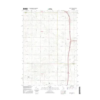
2017 Map of Mount Forest
USGS Topo · Published 2017About this map
Mount Forest stands as the primary settlement in this section of Michigan, situated within a landscape defined by an extensive network of managed watercourses. The local hydrology is a mix of natural systems and early drainage infrastructure, featuring the Saganing River and White Feather Cr, alongside numerous agricultural conduits such as Sunsmith Drain, Legness Drain, and Selleck Drain. These features reflect the region's historical efforts to manage the low-lying terrain for productive use.
Find a feature on this map
61 named features on this map. Tap any name to fly to it.
Don’t see what you’re looking for? This feature index may not catch every label — zoom into the map to look around manually.
Map Details
Editions of this 2017 Mount Forest Map
This is the sole edition of this map. No revisions or reprints were ever made.
Other maps of this area

1954 · Traverse City
USGS Topo · 1:250,000

1954 · Midland
USGS Topo · 1:250,000

1954 · Flint
USGS Topo · 1:250,000

1954 · Tawas City
USGS Topo · 1:250,000

1958 · Traverse City
USGS Topo · 1:250,000

1958 · Flint
USGS Topo · 1:250,000

1958 · Tawas City
USGS Topo · 1:250,000

1958 · Midland
USGS Topo · 1:250,000

1959 · Midland
USGS Topo · 1:250,000

1966 · Midland
USGS Topo · 1:250,000