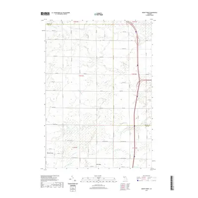
2019 Map of Mount Forest
USGS Topo · Published 2019About this map
Mount Forest and Nine Mile stand as the primary points of settlement in this 2019 study of northern Bay County. The landscape is defined by a sophisticated network of artificial drainage and natural waterways that manage the low-lying terrain. Features like the Sunsmith Drain, Legness Drain, and Selleck Drain weave between section lines, reflecting a long-standing regional commitment to agricultural land reclamation. To the north, the S Br Pine River and Middle Br Pine River cross the border into Arenac County, while the Saganing River flows toward the eastern reaches. The map reveals a strictly organized rural grid, where roads like N 7 Mile Rd and 9 Mile Rd mark the transition from the forested pockets of the south to the more open township lands above M 61.
Find a feature on this map
64 named features on this map. Tap any name to fly to it.
Don’t see what you’re looking for? This feature index may not catch every label — zoom into the map to look around manually.
Map Details
Editions of this 2019 Mount Forest Map
This is the sole edition of this map. No revisions or reprints were ever made.
Other maps of this area

1954 · Traverse City
USGS Topo · 1:250,000

1954 · Midland
USGS Topo · 1:250,000

1954 · Flint
USGS Topo · 1:250,000

1954 · Tawas City
USGS Topo · 1:250,000

1958 · Traverse City
USGS Topo · 1:250,000

1958 · Flint
USGS Topo · 1:250,000

1958 · Tawas City
USGS Topo · 1:250,000

1958 · Midland
USGS Topo · 1:250,000

1959 · Midland
USGS Topo · 1:250,000

1966 · Midland
USGS Topo · 1:250,000