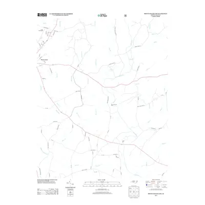
2013 Map of Mount Gilead East
USGS Topo · Published 2013About this map
The Town Creek Indian Mound stands as a prominent cultural landmark on the western bank of the Little River, highlighting a landscape shaped by ancient habitation and early North Carolina industry. This 2013 survey of the eastern portion of Mount Gilead reveals a rural geography defined by a dense network of creeks, including Big Town Cr, Cheek Cr, and Buffalo Cr.
Find a feature on this map
77 named features on this map. Tap any name to fly to it.
Don’t see what you’re looking for? This feature index may not catch every label — zoom into the map to look around manually.
Map Details
Editions of this 2013 Mount Gilead East Map
This is the sole edition of this map. No revisions or reprints were ever made.
Other maps of this area

1942 · Troy
USGS Topo · 1:125,000

1953 · Raleigh
USGS Topo · 1:250,000

1953 · Charlotte
USGS Topo · 1:250,000

1954 · Charlotte
USGS Topo · 1:250,000

1954 · Raleigh
USGS Topo · 1:250,000

1956 · Mangum
USGS Topo · 1:24,000

1956 · Mount Gilead East
USGS Topo · 1:24,000

1956 · Ellerbe
USGS Topo · 1:24,000

1956 · Harrisville
USGS Topo · 1:24,000

1956 · Ansonville
USGS Topo · 1:24,000