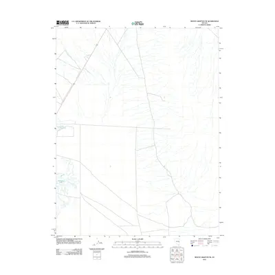
2012 Map of Mount Grafton NE
USGS Topo · Published 2012About this map
Travis Reservoir and Freshwater Lake are the primary hydrological landmarks in this arid White Pine County landscape. Situated in eastern Nevada, the terrain is defined by a vast network of ephemeral drainages that descend from higher elevations, flowing toward the basin floor where these small water bodies are located. The western edge of the quadrangle is traversed by U.S. Route 93, which serves as the principal transportation corridor through this open range. This 2012 survey illustrates the sparse settlement patterns typical of the region, where infrastructure is concentrated near primary transit routes and reliable water sources, reflecting the enduring geographic constraints of the Great Basin.
Find a feature on this map
3 named features on this map. Tap any name to fly to it.
Don’t see what you’re looking for? This feature index may not catch every label — zoom into the map to look around manually.
Map Details
Editions of this 2012 Mount Grafton NE Map
This is the sole edition of this map. No revisions or reprints were ever made.
Other maps of this area

1948 · Wheeler Peak
USGS Topo · 1:62,500

1950 · Wheeler Peak
USGS Topo · 1:62,500

1956 · Lund
USGS Topo · 1:250,000

1960 · Lund
USGS Topo · 1:250,000

1973 · Gouge Eye Well
USGS Topo · 1:24,000

1973 · Indian Springs Knolls
USGS Topo · 1:24,000

1973 · Cattle Camp Spring
USGS Topo · 1:24,000
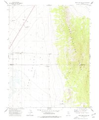
1973 · Mount Grafton NE
USGS Topo · 1:24,000
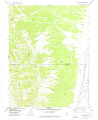
1978 · Mt. Grafton
USGS Topo · 1:24,000
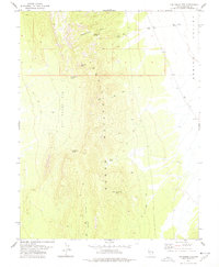
1978 · The Gouge Eye
USGS Topo · 1:24,000