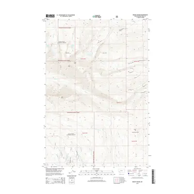
2014 Map of Mount Haggin
USGS Topo · Published 2014About this map
Deerlodge National Forest dominates this high-altitude terrain, where the crest of the Continental Divide winds through the southeastern portion of the quadrangle. The landscape is defined by massive peaks like Mt Haggin and Short Peak, which anchor a complex network of drainages including Mill Cr and Tenmile Cr. This 2014 survey documents the modern trail and road systems that penetrate the backcountry, such as the Rocky Mountain Trl and Hearst Lake Dr, providing access to alpine waters like Barker Lakes and Hearst Lake. A clear pattern of resource management and recreational infrastructure is evident in the transition from forest roads like Old Way Station Dr to the steep, narrow trails that climb toward Grassy Mtn. The map preserves the exact alignment of historical boundaries and water courses that have long shaped this part of Deer Lodge County.
Find a feature on this map
35 named features on this map. Tap any name to fly to it.
Don’t see what you’re looking for? This feature index may not catch every label — zoom into the map to look around manually.
Map Details
Editions of this 2014 Mount Haggin Map
This is the sole edition of this map. No revisions or reprints were ever made.
Other maps of this area

1889 · Helena
USGS Topo · 1:250,000

1893 · Helena
USGS Topo · 1:250,000

1893 · Dillon
USGS Topo · 1:250,000

1899 · Helena
USGS Topo · 1:250,000

1903 · Helena
USGS Topo · 1:250,000

1908 · Philipsburg
USGS Topo · 1:125,000

1947 · Butte
USGS Topo · 1:250,000

1955 · Dillon
USGS Topo · 1:250,000

1957 · Dillon
USGS Topo · 1:250,000

1958 · Butte
USGS Topo · 1:250,000