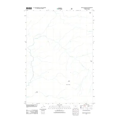
2012 Map of Mount Hancock
USGS Topo · Published 2012About this map
Snake River headwaters dominate this high-country drainage in Teton County, where the river meets the Heart River and winds through a landscape of prominent ridges and peaks. The map details a primitive backcountry infrastructure, most notably the Harebell Creek Patrol Cabin located near the southern confluence of Harebell Cr. This area is defined by significant elevations such as Mount Hancock and Big Game Ridge, which separate the various creek systems including Sickle Cr and Grouse Cr. The presence of a patrol cabin and named landmarks like Barlow Peak and Chicken Ridge indicates a region managed for wilderness preservation and administrative monitoring. The drainage patterns of Basin Cr and its tributaries show the intricate hydrology of the Wyoming wilderness before these waters flow toward more developed regions.
Find a feature on this map
11 named features on this map. Tap any name to fly to it.
Don’t see what you’re looking for? This feature index may not catch every label — zoom into the map to look around manually.
Map Details
Editions of this 2012 Mount Hancock Map
This is the sole edition of this map. No revisions or reprints were ever made.
Other maps of this area

1885 · Lake
USGS Topo · 1:125,000

1886 · Shoshone
USGS Topo · 1:125,000

1888 · Shoshone
USGS Topo · 1:125,000

1895 · Shoshone
USGS Topo · 1:125,000

1895 · Lake
USGS Topo · 1:125,000

1896 · Lake
USGS Topo · 1:125,000

1901 · Shoshone
USGS Topo · 1:125,000

1901 · Lake
USGS Topo · 1:125,000

1906 · Lake
USGS Topo · 1:125,000

1908 · Shoshone
USGS Topo · 1:125,000