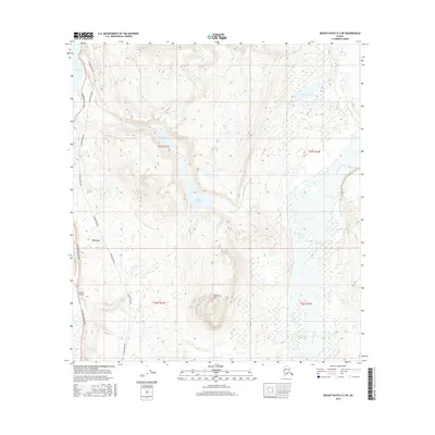
2016 Map of Mount Hayes A-3 SW
USGS Topo · Published 2016About this map
Paxson serves as a vital junction in the Alaskan interior, situated where the Richardson Highway meets the rugged landscape of the Alaska Range. This area is defined by its complex hydrologic network, including the Gulkana River and a chain of alpine lakes such as Summit Lake, Lower Fish Lake, and Upper Fish Lake. The presence of the Alaska Pipeline running parallel to the highway illustrates the intersection of mid-century infrastructure and the wilderness. The terrain is dominated by significant elevations like Wolverine Mtn, while Paxson Airport provides essential aerial access to this remote region. The layout of Fish Cr and Swampy Lakes indicates a high-altitude wetland environment that has dictated the path of human transit through the mountains for decades.
Find a feature on this map
16 named features on this map. Tap any name to fly to it.
Don’t see what you’re looking for? This feature index may not catch every label — zoom into the map to look around manually.
Map Details
Editions of this 2016 Mount Hayes A-3 SW Map
This is the sole edition of this map. No revisions or reprints were ever made.
Other maps of this area

1949 · Mount Hayes A-4
USGS Topo · 1:63,360

1949 · Gulkana D-3
USGS Topo · 1:63,360

1950 · Mount Hayes
USGS Topo · 1:250,000

1950 · Gulkana D-4
USGS Topo · 1:63,360

1950 · Mount Hayes A-3
USGS Topo · 1:63,360

1951 · Gulkana
USGS Topo · 1:250,000

1951 · Mount Hayes
USGS Topo · 1:250,000

1952 · Gulkana D-3
USGS Topo · 1:63,360

1952 · Mount Hayes A-3
USGS Topo · 1:63,360

1952 · Gulkana D-4
USGS Topo · 1:63,360