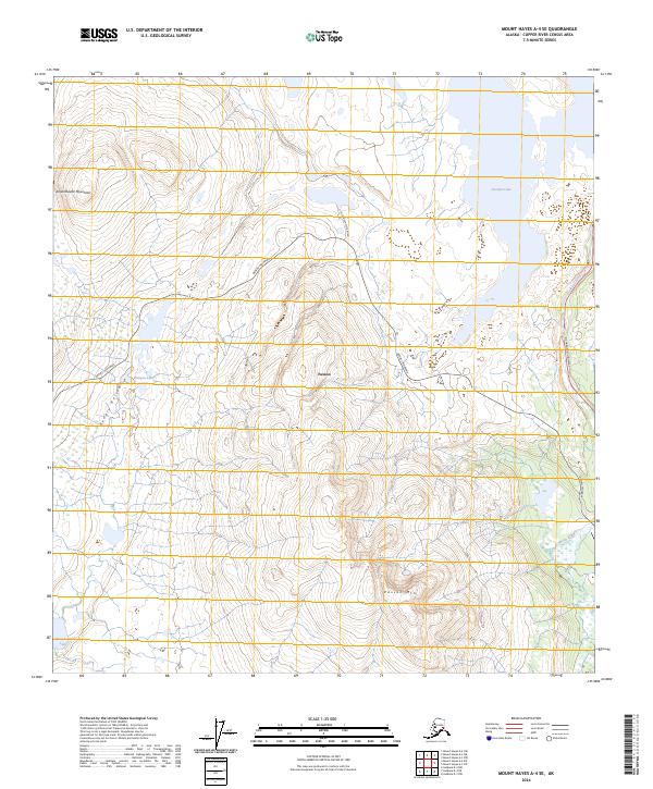
2024 Map of Mount Hayes A-4 SE
USGS Topo · Published 2024About this map
Paxson serves as the focal point of this interior Alaska landscape, situated at the critical junction where the Denali Highway meets the Richardson Highway. This area represents a vital transportation node, historically providing access to the Alaskan interior and the Amphitheater Mountains. The terrain is defined by dramatic elevation changes, rising from the Hungry Hollow basin to the prominent heights of Paxson Mtn.
Find a feature on this map
17 named features on this map. Tap any name to fly to it.
Don’t see what you’re looking for? This feature index may not catch every label — zoom into the map to look around manually.
Map Details
Editions of this 2024 Mount Hayes A-4 SE Map
This is the sole edition of this map. No revisions or reprints were ever made.
Other maps of this area

1949 · Mount Hayes A-4
USGS Topo · 1:63,360

1949 · Gulkana D-3
USGS Topo · 1:63,360

1950 · Mount Hayes
USGS Topo · 1:250,000

1950 · Gulkana D-4
USGS Topo · 1:63,360

1950 · Mount Hayes A-3
USGS Topo · 1:63,360

1951 · Gulkana
USGS Topo · 1:250,000

1951 · Mount Hayes
USGS Topo · 1:250,000

1952 · Gulkana D-3
USGS Topo · 1:63,360

1952 · Mount Hayes A-3
USGS Topo · 1:63,360

1952 · Gulkana D-4
USGS Topo · 1:63,360