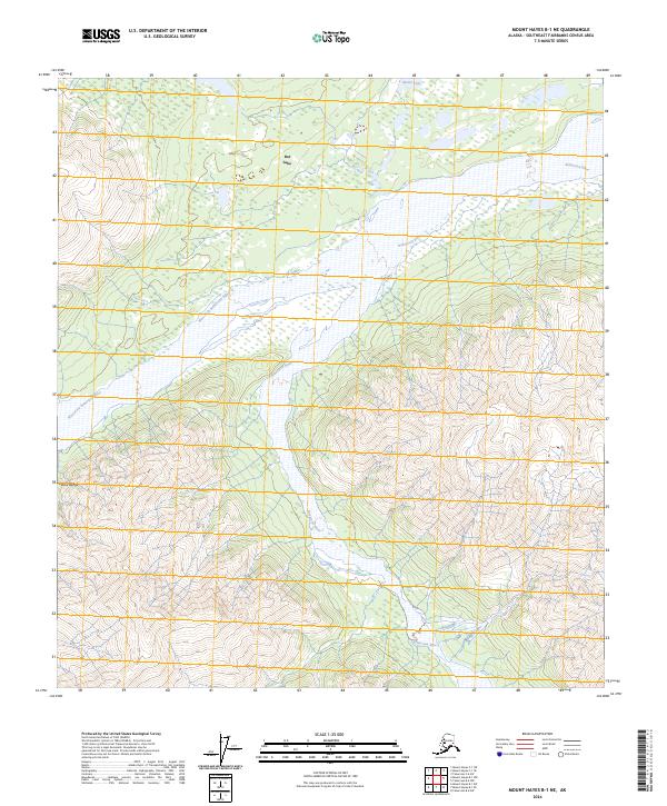
2024 Map of Mount Hayes B-1 NE
USGS Topo · Published 2024About this map
The Alaska Range defines the southwestern landscape of this interior region, giving way to the braided channels of the Robertson River system. The river creates a wide, gravel-laden valley that serves as a primary drainage corridor, fed by the West Fork Robertson River as it descends from the high ridges. In the northern reaches, the terrain flattens into a lacustrine environment where Dot Lake and Monte Lake provide significant water features amidst the forest. The mapping of these drainages and lakes illustrates the classic subarctic hydrology of the Southeast Fairbanks area, where wide glacial rivers and localized lakes are the dominant landmarks in a vast, roadless territory.
Find a feature on this map
10 named features on this map. Tap any name to fly to it.
Don’t see what you’re looking for? This feature index may not catch every label — zoom into the map to look around manually.
Map Details
Editions of this 2024 Mount Hayes B-1 NE Map
This is the sole edition of this map. No revisions or reprints were ever made.
Other maps of this area

1949 · Tanacross
USGS Topo · 1:250,000

1949 · Tanacross B-6
USGS Topo · 1:63,360

1950 · Tanacross
USGS Topo · 1:250,000

1950 · Mount Hayes
USGS Topo · 1:250,000

1951 · Mount Hayes
USGS Topo · 1:250,000

1951 · Tanacross B-6
USGS Topo · 1:63,360

1954 · Mount Hayes B-1
USGS Topo · 1:63,360

1954 · Tanacross C-6
USGS Topo · 1:63,360

1954 · Mount Hayes C-1
USGS Topo · 1:63,360

1955 · Mount Hayes C-1
USGS Topo · 1:63,360