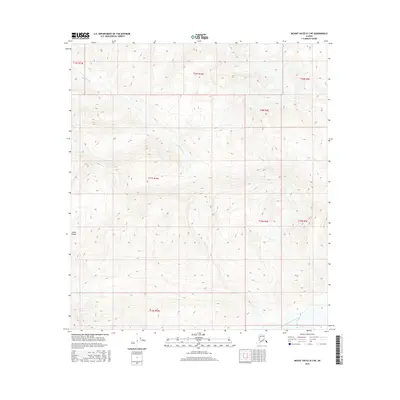
2016 Map of Mount Hayes B-2 NE
USGS Topo · Published 2016About this map
Alaska Range peaks dominate this part of the interior, where the high-altitude terrain is defined by steep glacial valleys and seasonal drainage patterns. The southern edge of the map is marked by the braided path of the West Fork Robertson River, a glacial waterway that carries runoff from the surrounding heights. Further north, the smaller Elting Creek carves through the township boundaries of T16S and T17S, illustrating the complex hydrology of this roadless landscape. This 2016 survey reflects a transition between different public land survey systems, showing the meeting of Seward and Fairbanks meridians. The absence of human-made infrastructure emphasizes the wilderness character of this region within the Alaska Range.
Find a feature on this map
11 named features on this map. Tap any name to fly to it.
Don’t see what you’re looking for? This feature index may not catch every label — zoom into the map to look around manually.
Map Details
Editions of this 2016 Mount Hayes B-2 NE Map
This is the sole edition of this map. No revisions or reprints were ever made.
Other maps of this area

1950 · Mount Hayes
USGS Topo · 1:250,000

1951 · Mount Hayes
USGS Topo · 1:250,000

1954 · Mount Hayes B-1
USGS Topo · 1:63,360

1954 · Mount Hayes C-1
USGS Topo · 1:63,360

1955 · Mount Hayes C-2
USGS Topo · 1:63,360

1955 · Mount Hayes B-2
USGS Topo · 1:63,360

1955 · Mount Hayes C-1
USGS Topo · 1:63,360
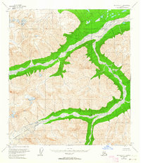
1955 · Mount Hayes B-1
USGS Topo · 1:63,360

1955 · Mount Hayes
USGS Topo · 1:250,000
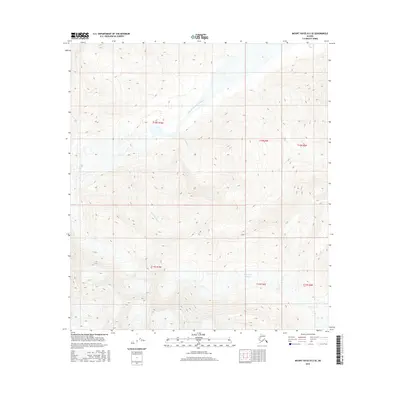
2016 · Mount Hayes B-2 SE
USGS Topo · 1:25,000