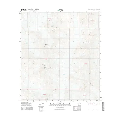
2016 Map of Mount Hayes B-3 NW
USGS Topo · Published 2016About this map
Castner Glacier and Gerstle Glacier dominate this high-altitude Alaskan landscape, where ice and elevation define the topography. The terrain is marked by several prominent summits including the distinctively named White Princess, Black Cap, and Old Snowy. To the south, the expansive Johnson Glacier and the smaller Spur Glacier illustrate the ongoing glacial carving of the mountain range. This survey, conducted by the U.S. Geological Survey, captures a purely natural environment within the unorganized borough, devoid of human settlements or roads. The sheer verticality of the area is emphasized by peaks such as M'Ladies Mtn, Sight Peak, and Tusac, providing a detailed record of the state's glacial and mountain systems as they existed in the early twenty-first century.
Find a feature on this map
16 named features on this map. Tap any name to fly to it.
Don’t see what you’re looking for? This feature index may not catch every label — zoom into the map to look around manually.
Map Details
Editions of this 2016 Mount Hayes B-3 NW Map
This is the sole edition of this map. No revisions or reprints were ever made.
Other maps of this area

1950 · Mount Hayes
USGS Topo · 1:250,000

1950 · Mount Hayes C-4
USGS Topo · 1:63,360

1951 · Mount Hayes
USGS Topo · 1:250,000

1952 · Mount Hayes C-4
USGS Topo · 1:63,360

1952 · Mount Hayes B-4
USGS Topo · 1:63,360

1954 · Mount Hayes C-3
USGS Topo · 1:63,360

1954 · Mount Hayes B-4
USGS Topo · 1:63,360

1955 · Mount Hayes B-3
USGS Topo · 1:63,360

1955 · Mount Hayes C-3
USGS Topo · 1:63,360

1955 · Mount Hayes
USGS Topo · 1:250,000