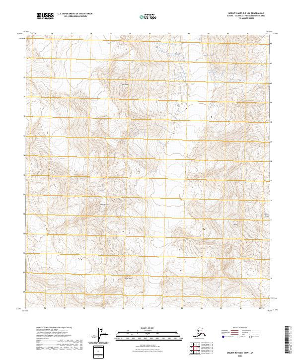
2024 Map of Mount Hayes B-3 NW
USGS Topo · Published 2024About this map
Alaska Range summits define this high-altitude landscape in the Southeast Fairbanks Census Area. The region is characterized by significant topographic relief and named peaks that serve as primary landmarks in an otherwise roadless wilderness. Notable high points include Old Snowy in the northern reaches and the distinct profile of White Princess further south. The map documents the precise placement of secondary peaks like Black Cap, Sight Peak, and Tusac, providing essential data for those navigating this interior terrain. This 2024 data highlights the remote character of the interior, where geographic features are the only identifiers across several townships, including t17s r12e and t18s r13e.
Find a feature on this map
12 named features on this map. Tap any name to fly to it.
Don’t see what you’re looking for? This feature index may not catch every label — zoom into the map to look around manually.
Map Details
Editions of this 2024 Mount Hayes B-3 NW Map
This is the sole edition of this map. No revisions or reprints were ever made.
Other maps of this area

1950 · Mount Hayes
USGS Topo · 1:250,000

1950 · Mount Hayes C-4
USGS Topo · 1:63,360

1951 · Mount Hayes
USGS Topo · 1:250,000

1952 · Mount Hayes C-4
USGS Topo · 1:63,360

1952 · Mount Hayes B-4
USGS Topo · 1:63,360

1954 · Mount Hayes C-3
USGS Topo · 1:63,360

1954 · Mount Hayes B-4
USGS Topo · 1:63,360

1955 · Mount Hayes B-3
USGS Topo · 1:63,360

1955 · Mount Hayes C-3
USGS Topo · 1:63,360

1955 · Mount Hayes
USGS Topo · 1:250,000