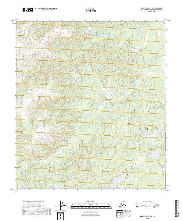
2024 Map of Mount Hayes C-1 SE
USGS Topo · Published 2024About this map
Dot Lake serves as a primary geographic anchor within this interior Alaskan landscape, situated among a network of drainages and upland terrain in the Southeast Fairbanks Census Area. The topography is defined by the winding paths of Chief Creek and Bear Creek, which navigate the elevation changes between the high points of Knob Ridge and the lower basin near Monte Lake. This 2024 survey documents the persistence of small settlements and traditional water bodies in a region where the natural environment dictates the pattern of human presence. The map reveals the intricate township and range divisions, such as t21n r6e and t20n r7e, illustrating the intersection of modern surveying with a largely wilderness landscape.
Find a feature on this map
9 named features on this map. Tap any name to fly to it.
Don’t see what you’re looking for? This feature index may not catch every label — zoom into the map to look around manually.
Map Details
Editions of this 2024 Mount Hayes C-1 SE Map
This is the sole edition of this map. No revisions or reprints were ever made.
Other maps of this area

1949 · Tanacross
USGS Topo · 1:250,000

1949 · Tanacross B-6
USGS Topo · 1:63,360

1950 · Tanacross
USGS Topo · 1:250,000

1950 · Mount Hayes
USGS Topo · 1:250,000

1951 · Mount Hayes
USGS Topo · 1:250,000

1951 · Tanacross B-6
USGS Topo · 1:63,360

1954 · Mount Hayes B-1
USGS Topo · 1:63,360

1954 · Tanacross C-6
USGS Topo · 1:63,360

1954 · Mount Hayes C-1
USGS Topo · 1:63,360

1955 · Mount Hayes C-1
USGS Topo · 1:63,360