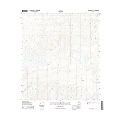
2016 Map of Mount Hayes C-1 SW
USGS Topo · Published 2016About this map
Alaska Range peaks define this high-latitude terrain within the t21n r5e and t20n r6e survey blocks. The landscape is dominated by complex water systems, where Plateau Lake and Fish Lake sit amidst a network of glacial drainages and wetlands. Dramatic elevation changes are evident along Knob Ridge, where the topography rises sharply from the surrounding basins. The drainage pattern is established by the meandering courses of Berry Cr, Bear Creek, and its smaller tributary labeled Bear Cr, illustrating a wild and largely undeveloped interior. This 2016 survey provides a precise record of the hydrography and public land survey system divisions in a region defined by its extreme alpine and subarctic environments.
Find a feature on this map
11 named features on this map. Tap any name to fly to it.
Don’t see what you’re looking for? This feature index may not catch every label — zoom into the map to look around manually.
Map Details
Editions of this 2016 Mount Hayes C-1 SW Map
This is the sole edition of this map. No revisions or reprints were ever made.
Other maps of this area

1950 · Mount Hayes
USGS Topo · 1:250,000

1951 · Mount Hayes
USGS Topo · 1:250,000

1954 · Mount Hayes B-1
USGS Topo · 1:63,360

1954 · Mount Hayes C-1
USGS Topo · 1:63,360

1955 · Mount Hayes C-2
USGS Topo · 1:63,360

1955 · Mount Hayes B-2
USGS Topo · 1:63,360

1955 · Mount Hayes C-1
USGS Topo · 1:63,360
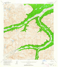
1955 · Mount Hayes B-1
USGS Topo · 1:63,360

1955 · Mount Hayes
USGS Topo · 1:250,000
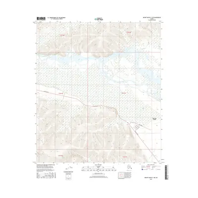
2016 · Mount Hayes C-1 NE
USGS Topo · 1:25,000