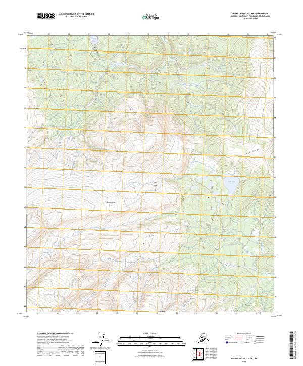
2024 Map of Mount Hayes C-1 SW
USGS Topo · Published 2024About this map
Dot Lake serves as a central landmark in this high-latitude terrain within the Alaska Range. The landscape is defined by its complex hydrology, with systems of creeks such as Dry Creek, Berry Creek, and Bear Creek cutting through the interior. Toward the eastern edge, Knob Ridge rises above the lowlands, overlooking Fish Lake and adjacent wetlands.
Find a feature on this map
12 named features on this map. Tap any name to fly to it.
Don’t see what you’re looking for? This feature index may not catch every label — zoom into the map to look around manually.
Map Details
Editions of this 2024 Mount Hayes C-1 SW Map
This is the sole edition of this map. No revisions or reprints were ever made.
Other maps of this area

1950 · Mount Hayes
USGS Topo · 1:250,000

1951 · Mount Hayes
USGS Topo · 1:250,000

1954 · Mount Hayes B-1
USGS Topo · 1:63,360

1954 · Mount Hayes C-1
USGS Topo · 1:63,360

1955 · Mount Hayes C-2
USGS Topo · 1:63,360

1955 · Mount Hayes B-2
USGS Topo · 1:63,360

1955 · Mount Hayes C-1
USGS Topo · 1:63,360
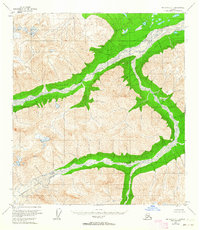
1955 · Mount Hayes B-1
USGS Topo · 1:63,360

1955 · Mount Hayes
USGS Topo · 1:250,000
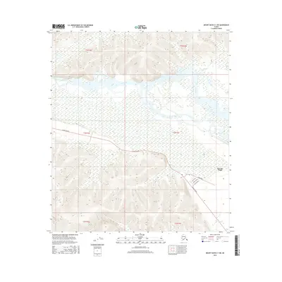
2016 · Mount Hayes C-1 NE
USGS Topo · 1:25,000