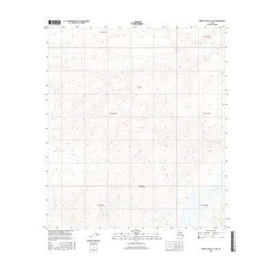
2016 Map of Mount Hayes C-3 NW
USGS Topo · Published 2016About this map
Granite Mtn dominates this mountainous landscape in the Alaska Interior, serving as a focal point for a complex network of alpine drainage systems. The terrain is defined by the high-elevation crossing at Saint Anthony Pass, which separates the northern watersheds from the southern reaches of the quadrangle. In the southeast, the braided channels of the Gerstle River cut through the landscape, while numerous smaller streams like McCumber Cr, Bradford Cr, and Granite Cr carve out a series of steep valleys. These waterways, including Old Channel Cr and July Creek, illustrate the natural drainage patterns of the Alaska Range before they reach the lower basins. The map provides a detailed view of the township and range survey lines—such as t14s r12e and t15s r13e—imposed upon this roadless wilderness.
Find a feature on this map
15 named features on this map. Tap any name to fly to it.
Don’t see what you’re looking for? This feature index may not catch every label — zoom into the map to look around manually.
Map Details
Editions of this 2016 Mount Hayes C-3 NW Map
This is the sole edition of this map. No revisions or reprints were ever made.
Other maps of this area

1950 · Mount Hayes
USGS Topo · 1:250,000

1950 · Mount Hayes D-4
USGS Topo · 1:63,360

1950 · Mount Hayes C-4
USGS Topo · 1:63,360

1951 · Mount Hayes
USGS Topo · 1:250,000

1952 · Mount Hayes D-4
USGS Topo · 1:63,360

1952 · Mount Hayes C-4
USGS Topo · 1:63,360

1954 · Mount Hayes C-3
USGS Topo · 1:63,360

1954 · Mount Hayes D-3
USGS Topo · 1:63,360
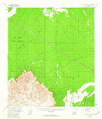
1955 · Mount Hayes D-3
USGS Topo · 1:63,360

1955 · Mount Hayes C-3
USGS Topo · 1:63,360