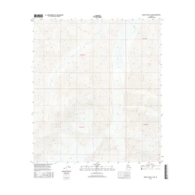
2016 Map of Mount Hayes C-3 SW
USGS Topo · Published 2016About this map
Gerstle Glacier dominates the high-elevation terrain of this interior Alaskan landscape, serving as the massive icy source for the braided drainage systems that define the area. Below the glacier, the wide valley of the Gerstle River cuts north through the quadrangle, characterized by its shifting glacial outwash and complex hydrology. To the west, the smaller July Creek winds through the steep, unnamed ridges of the Alaska Range. This 2016 survey illustrates a classic glacial environment where high mountain ice directly shapes the water networks below, with the entire region remaining largely undeveloped and centered on these natural hydrological features.
Find a feature on this map
7 named features on this map. Tap any name to fly to it.
Don’t see what you’re looking for? This feature index may not catch every label — zoom into the map to look around manually.
Map Details
Editions of this 2016 Mount Hayes C-3 SW Map
This is the sole edition of this map. No revisions or reprints were ever made.
Other maps of this area

1950 · Mount Hayes
USGS Topo · 1:250,000

1950 · Mount Hayes C-4
USGS Topo · 1:63,360

1951 · Mount Hayes
USGS Topo · 1:250,000

1952 · Mount Hayes C-4
USGS Topo · 1:63,360

1952 · Mount Hayes B-4
USGS Topo · 1:63,360

1954 · Mount Hayes C-3
USGS Topo · 1:63,360

1954 · Mount Hayes B-4
USGS Topo · 1:63,360

1955 · Mount Hayes B-3
USGS Topo · 1:63,360

1955 · Mount Hayes C-3
USGS Topo · 1:63,360

1955 · Mount Hayes
USGS Topo · 1:250,000