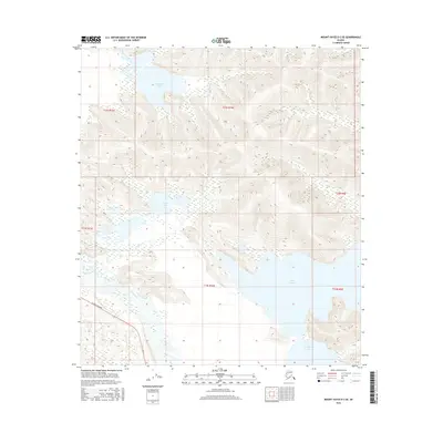
2016 Map of Mount Hayes D-2 SE
USGS Topo · Published 2016About this map
The Tanana River and the corridor of the Alaska Highway dominate the southwestern portion of this interior landscape. The river’s braided channels and the accompanying wetland system define the low-lying terrain, while to the north, the land rises into a series of ridges and mountain peaks. This 2016 survey captures the vital transportation link provided by the highway as it skirts the river valley, passing south of George Cr. To the north and east, the terrain is punctuated by significant water bodies including Twelvemile Lake, Black Lake, and the expansive Lake George. These features, along with Moosehead Lake in the southeast, suggest a complex drainage pattern where seasonal melt and glacial runoff from the nearby Alaska Range interact with the plateau's topography. The map illustrates the intersection of modern infrastructure and the untouched hydraulic systems of the Unorganized Borough.
Find a feature on this map
14 named features on this map. Tap any name to fly to it.
Don’t see what you’re looking for? This feature index may not catch every label — zoom into the map to look around manually.
Map Details
Editions of this 2016 Mount Hayes D-2 SE Map
This is the sole edition of this map. No revisions or reprints were ever made.
Other maps of this area

1950 · Mount Hayes
USGS Topo · 1:250,000

1951 · Mount Hayes
USGS Topo · 1:250,000

1954 · Mount Hayes D-2
USGS Topo · 1:63,360

1954 · Mount Hayes D-1
USGS Topo · 1:63,360

1954 · Mount Hayes C-1
USGS Topo · 1:63,360

1955 · Mount Hayes C-2
USGS Topo · 1:63,360

1955 · Mount Hayes C-1
USGS Topo · 1:63,360

1955 · Mount Hayes D-2
USGS Topo · 1:63,360

1955 · Mount Hayes
USGS Topo · 1:250,000
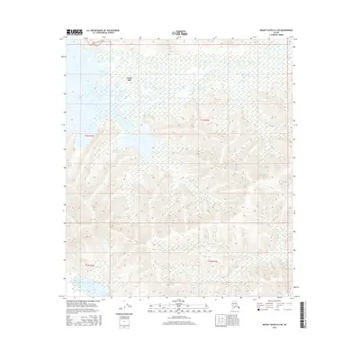
2016 · Mount Hayes D-2 NE
USGS Topo · 1:25,000