
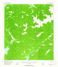
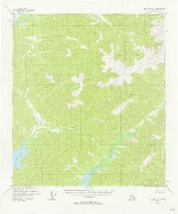
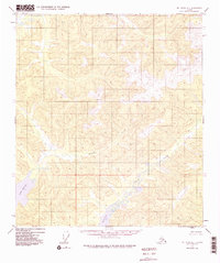
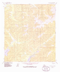
1954 Map of Mount Hayes D-1
USGS Topo · Published 1958About this map
Lake George and the surrounding interior Alaska wilderness dominate this 1954 study, which captures the landscape before significant human development. The map area is defined by a dense network of high ridges and narrow valleys, characterized by steep contour lines and scattered wetlands. Sand Creek meanders through the eastern portion of the quadrangle, feeding into several small bodies of water including Sand Lake.
Find a feature on this map
4 named features on this map. Tap any name to fly to it.
Don’t see what you’re looking for? This feature index may not catch every label — zoom into the map to look around manually.
Map Details
Editions of this 1954 Mount Hayes D-1 Map
5 editions found
Other maps of this area

1949 · Tanacross
USGS Topo · 1:250,000

1950 · Tanacross
USGS Topo · 1:250,000

1950 · Mount Hayes
USGS Topo · 1:250,000

1950 · Big Delta
USGS Topo · 1:250,000

1951 · Big Delta
USGS Topo · 1:250,000

1951 · Mount Hayes
USGS Topo · 1:250,000

1951 · Eagle
USGS Topo · 1:250,000

1954 · Mount Hayes D-2
USGS Topo · 1:63,360

1954 · Tanacross C-6
USGS Topo · 1:63,360

1954 · Tanacross D-6
USGS Topo · 1:63,360