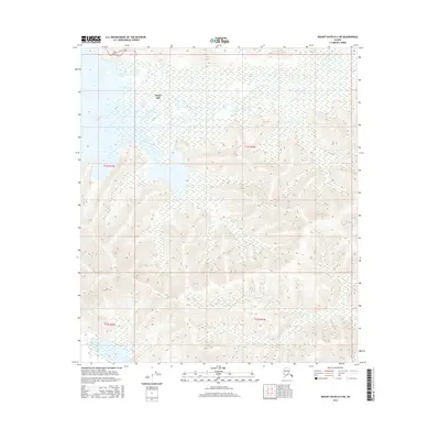
2016 Map of Mount Hayes D-2 NE
USGS Topo · Published 2016About this map
Healy Lake and the winding course of the Healy River dominate this interior landscape, illustrating the complex hydrology of the Tanana Valley region. The map documents a transition from the low-lying wetlands and myriad small ponds surrounding the lake to the increasingly steep, corrugated terrain that rises toward the south. Modern infrastructure is limited to the northern edge of the sheet, where the Landfill Access Road provides one of the few named terrestrial transport routes in an otherwise water-defined environment. This survey captures the delicate balance between the expansive aquatic systems of the northern flats and the unpopulated uplands that characterize this portion of the Unorganized Borough.
Find a feature on this map
7 named features on this map. Tap any name to fly to it.
Don’t see what you’re looking for? This feature index may not catch every label — zoom into the map to look around manually.
Map Details
Editions of this 2016 Mount Hayes D-2 NE Map
This is the sole edition of this map. No revisions or reprints were ever made.
Other maps of this area

1950 · Mount Hayes
USGS Topo · 1:250,000

1950 · Big Delta
USGS Topo · 1:250,000

1951 · Big Delta
USGS Topo · 1:250,000

1951 · Mount Hayes
USGS Topo · 1:250,000

1954 · Mount Hayes D-2
USGS Topo · 1:63,360

1954 · Mount Hayes D-1
USGS Topo · 1:63,360

1954 · Big Delta A-2
USGS Topo · 1:63,360

1955 · Big Delta A-1
USGS Topo · 1:63,360

1955 · Big Delta A-2
USGS Topo · 1:63,360

1955 · Mount Hayes D-2
USGS Topo · 1:63,360